Westernmost Point of Thailand – Bikes Boats and Beers
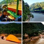
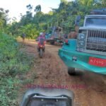
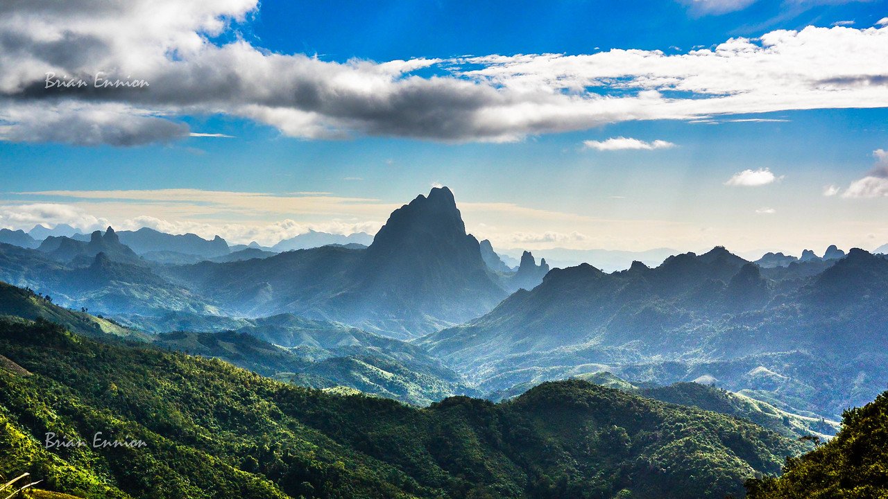
That time of the year for our annual trip up to the north of Thailand. After the boring highways we reach the sign for Mae Sot. Then it feels like we are on holiday as we head over the mountains and the temperature drops by 5c at the peak. The next morning 9am and still 15c as we leave…