
Sop Moi District – Mae Sariang – Camping – Ban Sop Moi – Mae La Oon Refugee Camp – Salawin National Park – Myanmar
The cool season is here and time to head back to Mae Hong Son for a week of riding.
Last year was just fantastic.
I really enjoy my trips to Laos, but the border crossing nonsense along with the good trails to ride are getting further and further away from the border with Thailand. So much development over the past 10+ years and many visits has taken the edge off for me.
Starting to spend more time in my own backyard. Much easier too with the pickup.
We leave Bangkok Friday at lunch time. I took a half day off work, planning to arrive in Mae Sot before sunset. The fun starts after Tak when you are on the twisty mountain road.

A must to stop at Canadian for dinner and if time allows with an early start, breakfast.
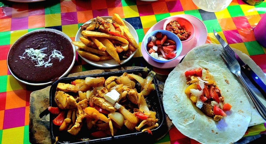
I often hear people complain that there is nothing to do in Mae Sot. This cool little bar is still here after Covid. Over near the bus and truck stop behind the night street market.
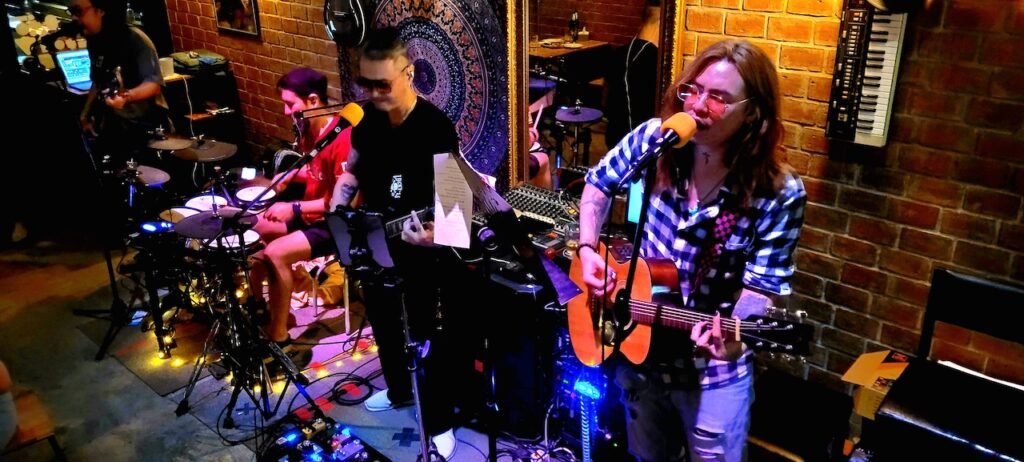
The last customer that complained about the bill.

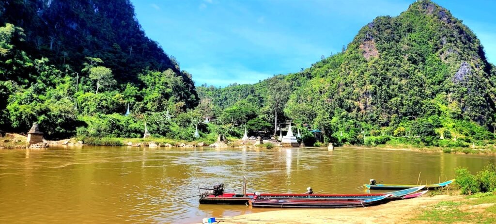
Mae Tawo Pier
17.561012315669757, 97.91374920006838
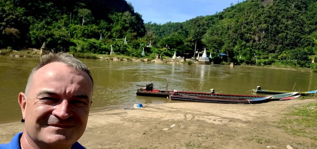
First a stop to check out the Mae Tawo Pier along route 105.
Stunning place and worth a detour. It would be so cool if allowed to cross like the locals.

Sop Moi District
We arrive at Sop Moi along the 105. Not to be confused with Ban Sop Moi at the confluence of the Salween and Moi rivers.
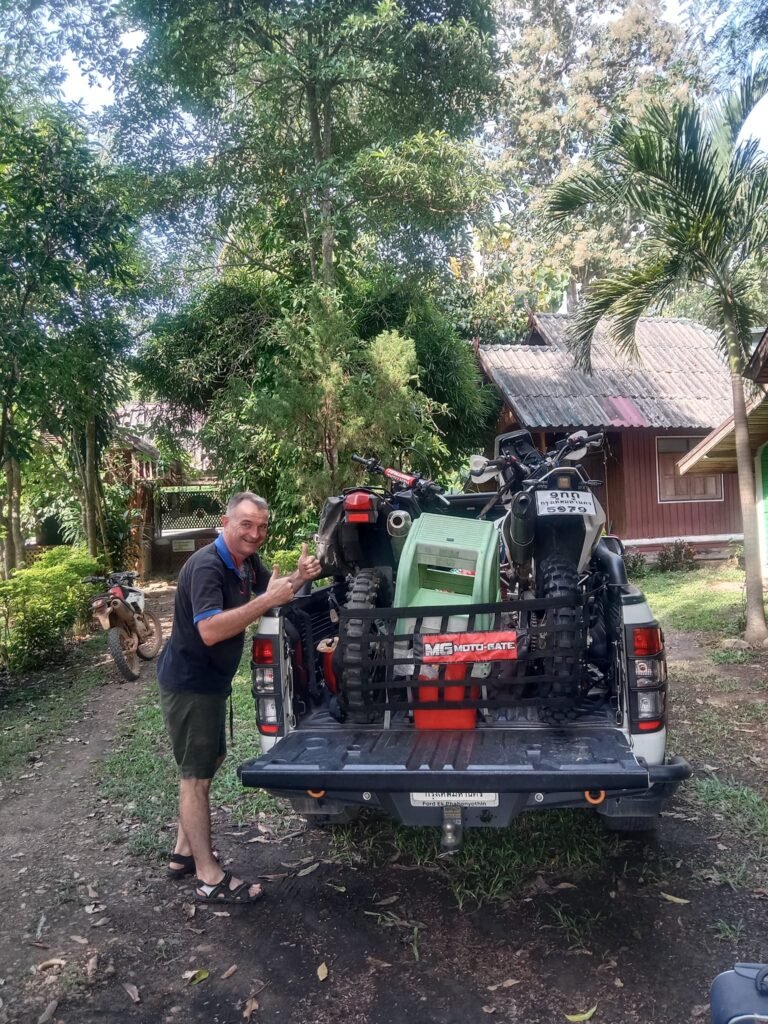
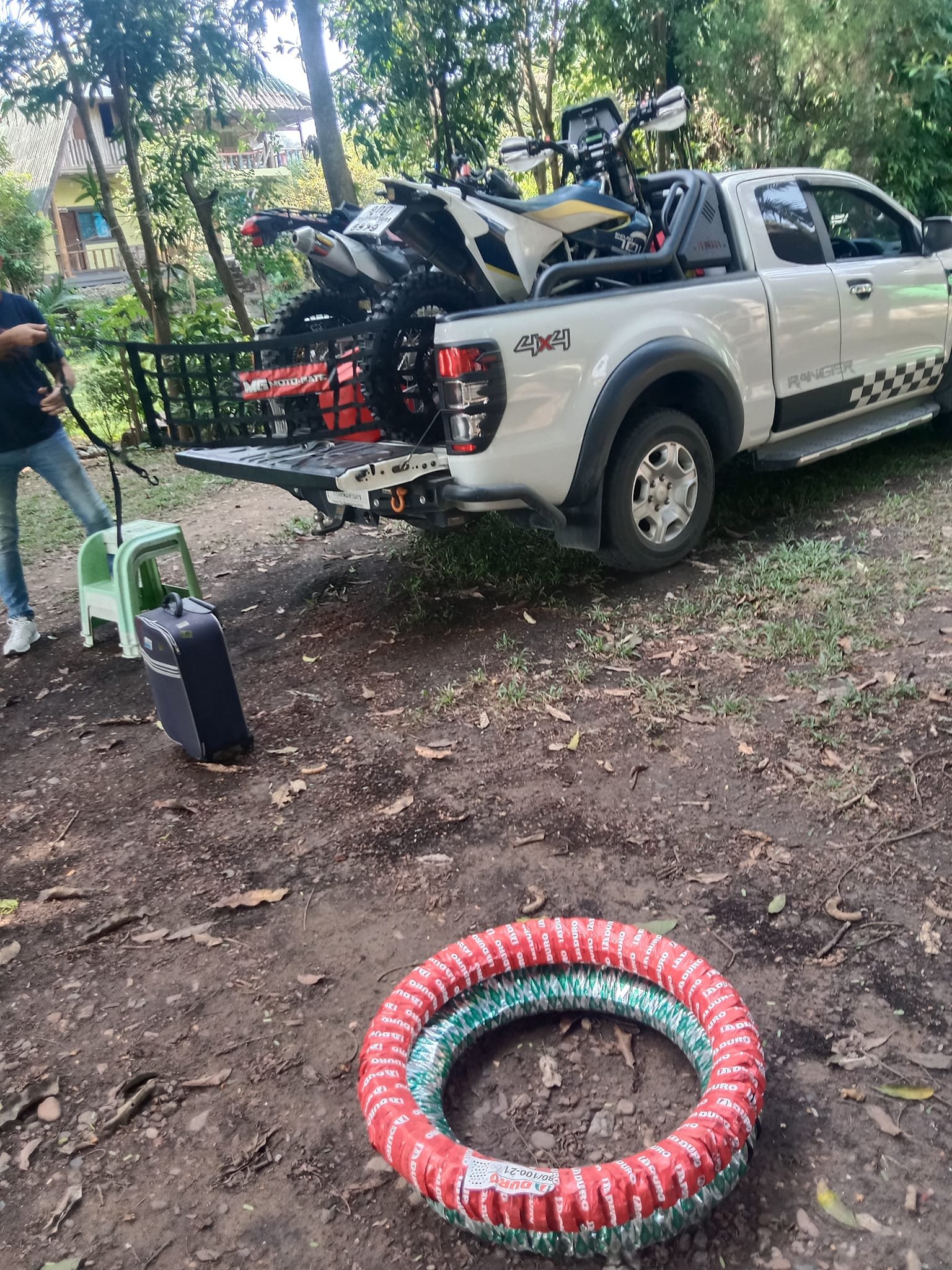
Didn’t realize the last time we stayed here that there is a resort. Basic, but good enough if you are not too fussy.

Afternoon Ride
We go for a late afternoon ride. I am thinking it will be 2 or 3 hours and back before dark.
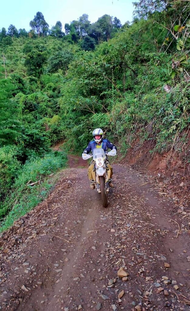
Well, we ended up on all sorts of goat tracks and really narrow. Fun, but a bit much after all the driving I had done the last two days.
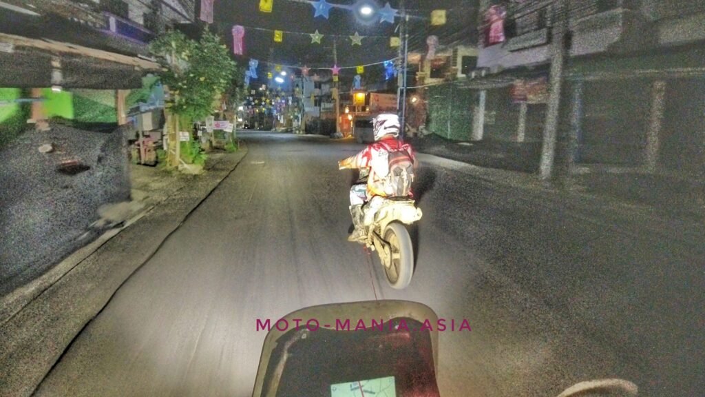
We didn’t get back to the resort until 8pm. Day 1 of riding in the dark.
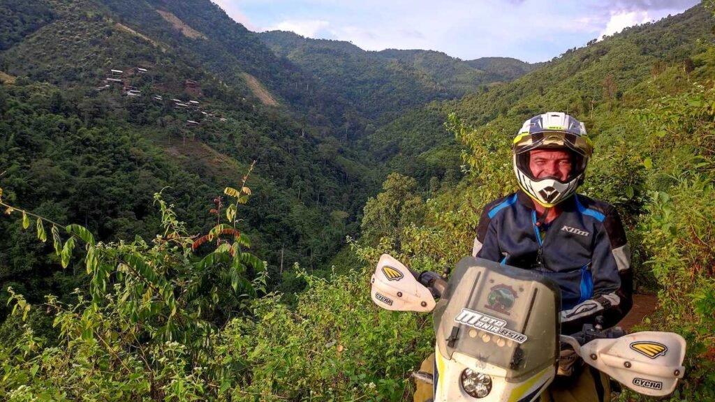


Carsten and Pom to the rescue and with a bit of pushing and pulling and throttle up she went the other side.
Below was a bit more fun as not so tight.
YouTube
Hill climb Brian
Hill climb Carsten
Knackered
I took a rest the next day. After all the driving, then the hard trail in to the evening. I was really tired as well as dehydrated.
Rested and slept in and met up with some friends that were visiting a Karen Church in town.

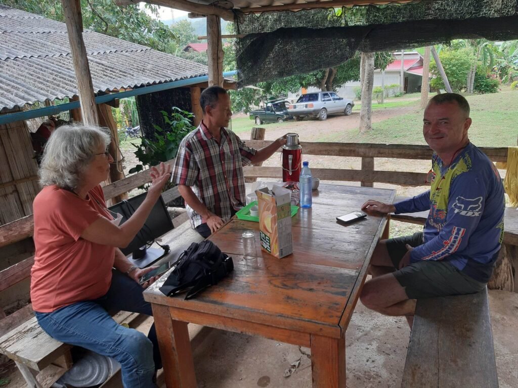

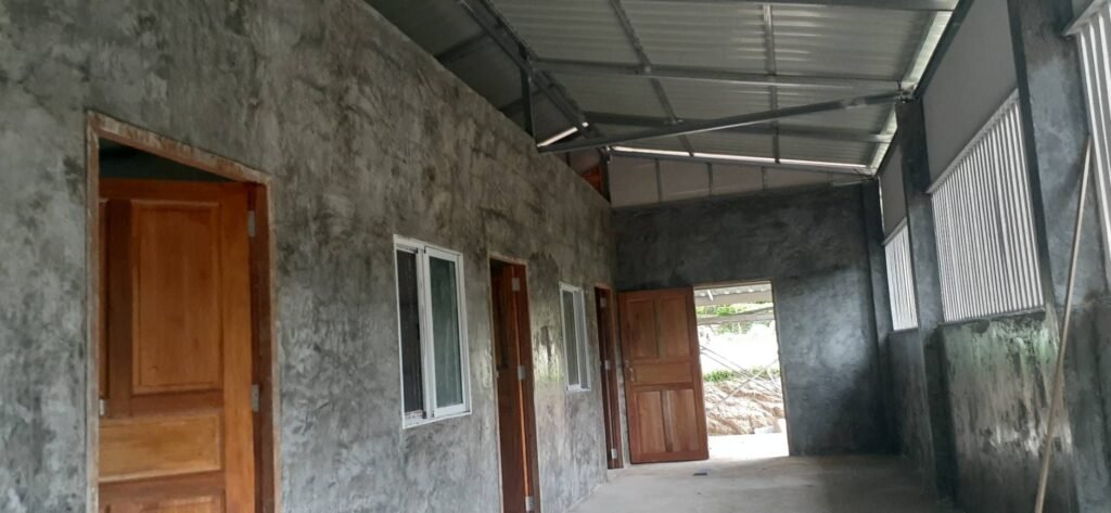
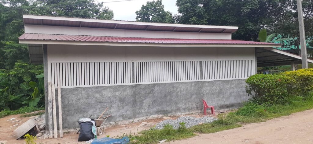
Khun Suwit showed us the progress of the pre hospital for pregnant woman. A lot better than what they had a year earlier. Nearly finished. The back story is that the woman getting pregnant in the hills were dying or nearly dying when suffering complications.
Now they go to the pre hospital a few months before ready to give birth. When they go in to labor they are only a few hundred metres from the hospital up the road.
* This is not my doing. Just sharing a positive story from a personal interest and following the progress the past year

We had a coffee and catch up with Khun Suwit the spiritual leader of the community, before going our separate ways.
Beers and Bugs
While waiting for the guys to come back. I started to feel more alive and had a couple of beers.
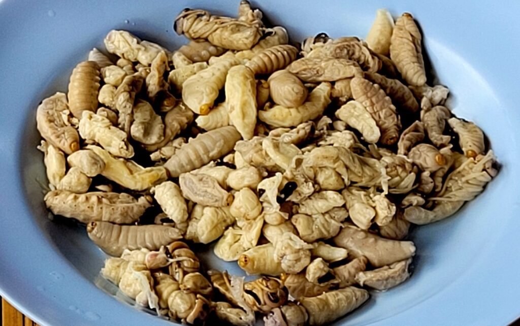
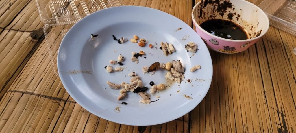
Then came the snacks.. Wasp Larvae in soy source. Very nice.


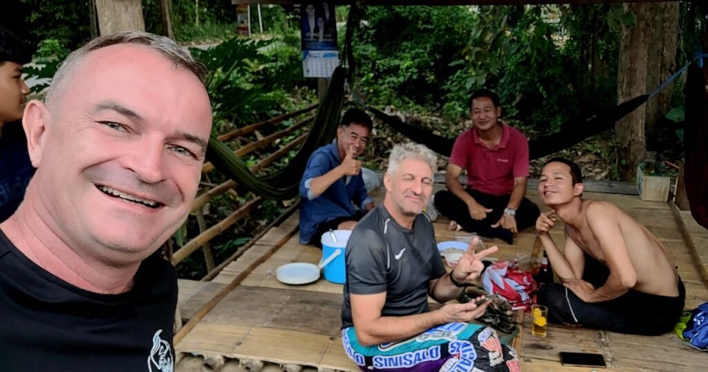
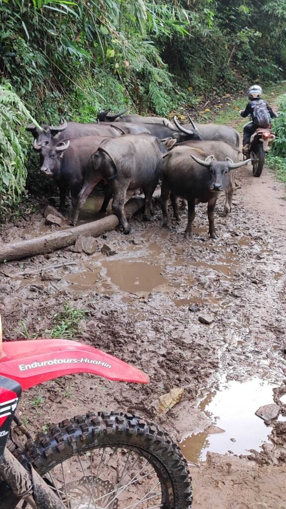
Some snaps from the ride I sat out below.



Mae Sariang
The next day we moved up to Mae Sariang to be a bit closer to Salawin National Park.
Rented one room to dump our gear, change etc., then headed off to the camping site.
Camping – Ban Sop Moi – Mae La Oon Refugee Camp
Camping : N17° 51.794′ E97° 42.952′
Ban Sop Moi : N17° 49.644′ E97° 41.910′
Mae La Oon Refugee Camp : N17° 47.053′ E97° 46.877′

The tracks in here are just endless mountain climbs and steep. With narrow concrete tracks and sharp turns. I nearly went off the tracks and in the ruts a couple of times.
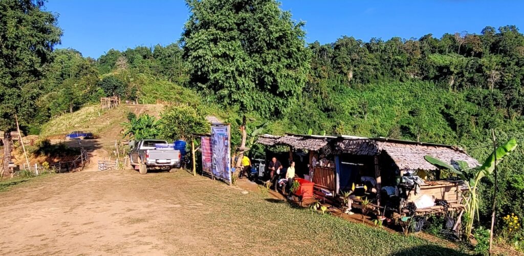
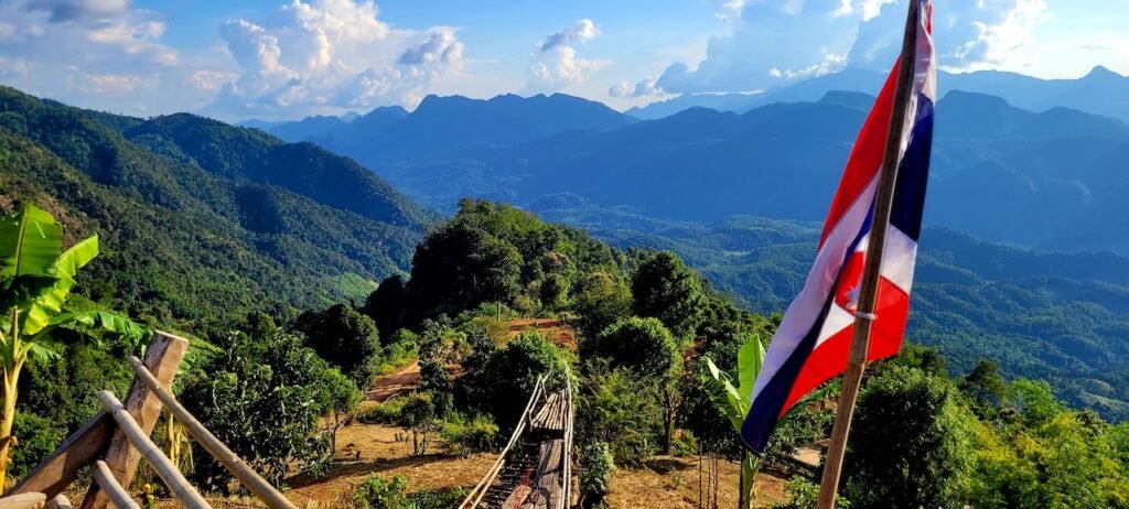


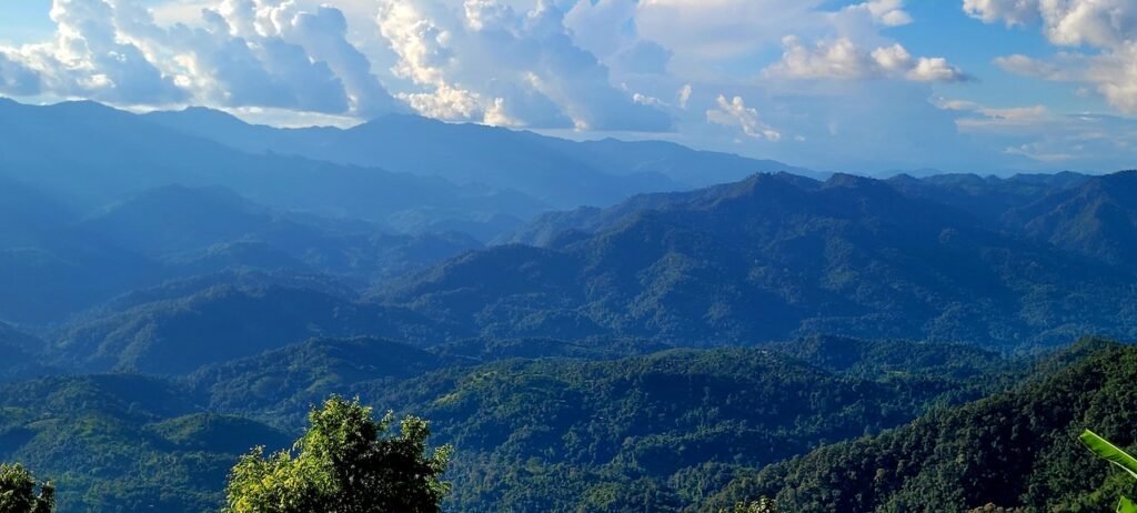
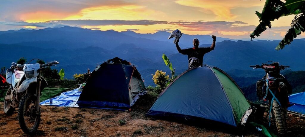
Sunset


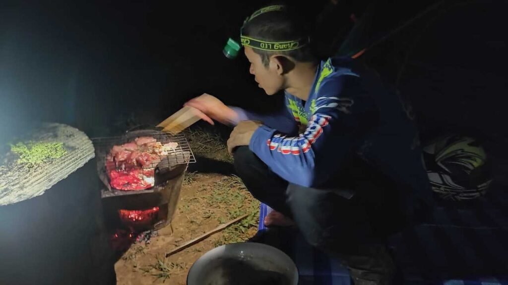

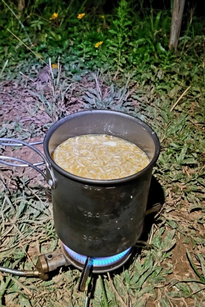
The packets of pre cooked food I carried along, just in case there wasn’t much to eat.

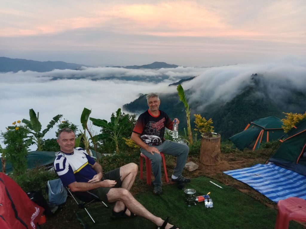
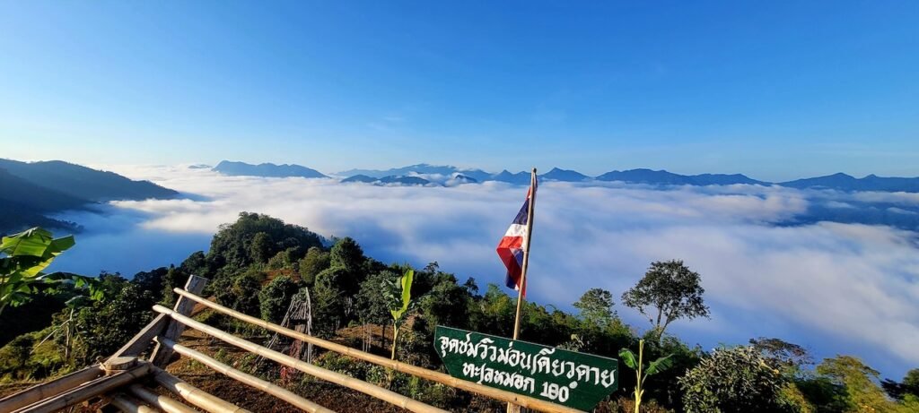
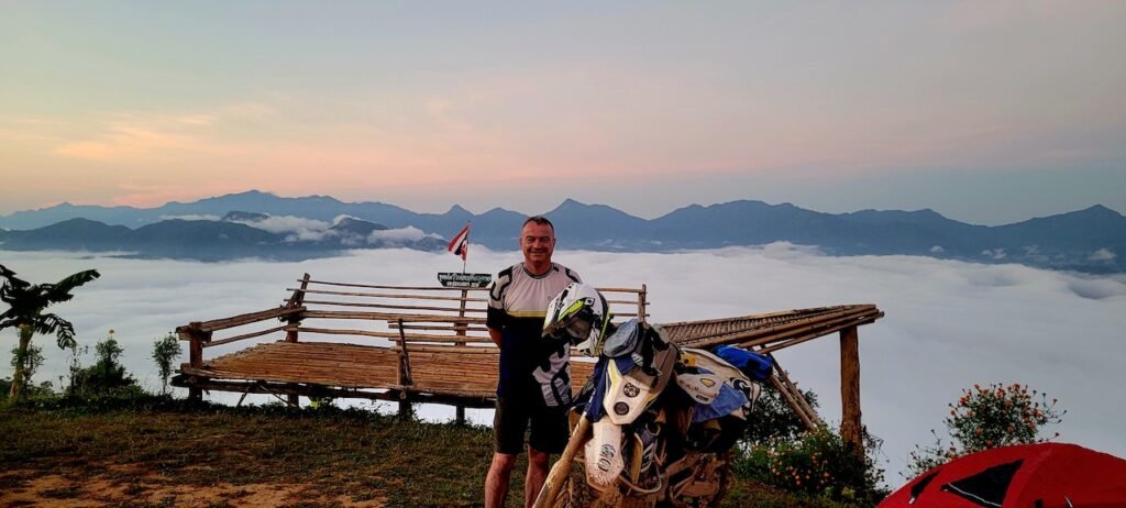
Good morning from above the clouds.


YouTube
Waking up above the clouds
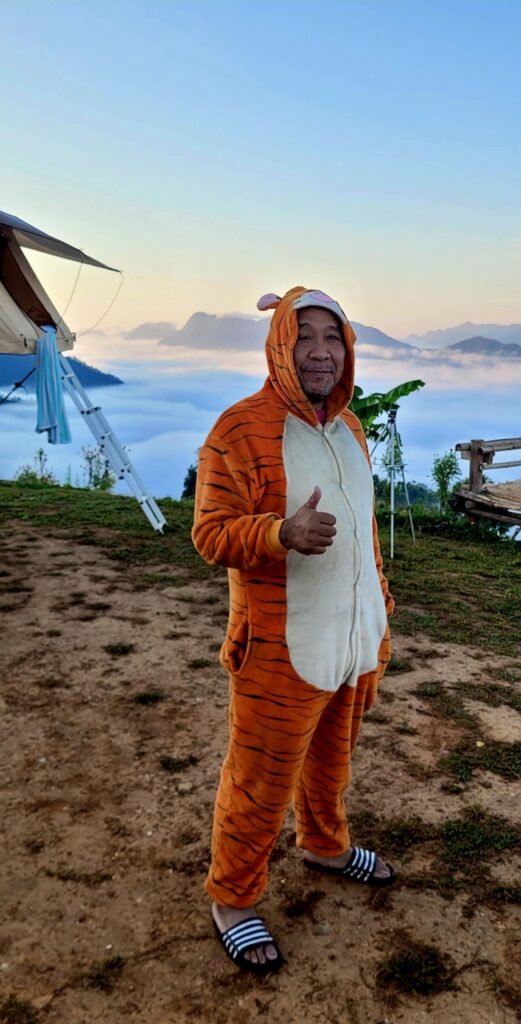
We even had a Tiger in camp during the early hours of the morning.
Ban Sop Moi
Sitting at the confluence of the Salween and Moi rivers.
A nice spot. You can get a coffee and the locals have rigged up internet for 40 baht if you need it.


YouTube Video
Ban Sop Moi
The confluence of the Salween and Moi rivers.
Following the river, heading towards Mae La Oon refugee camp.

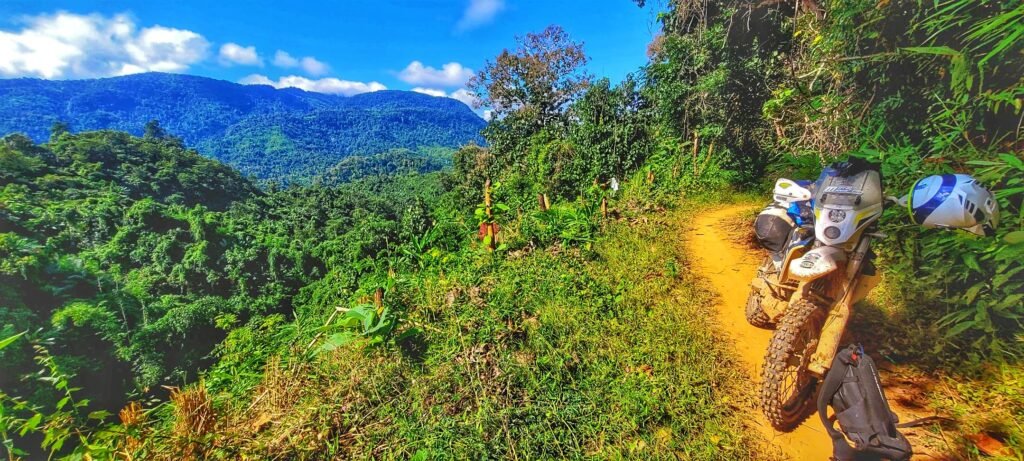
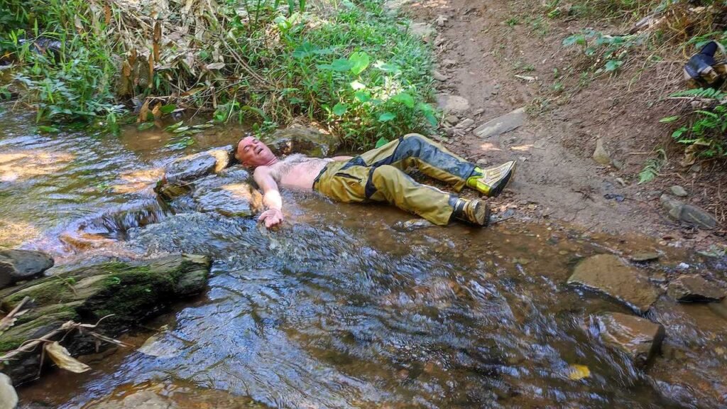
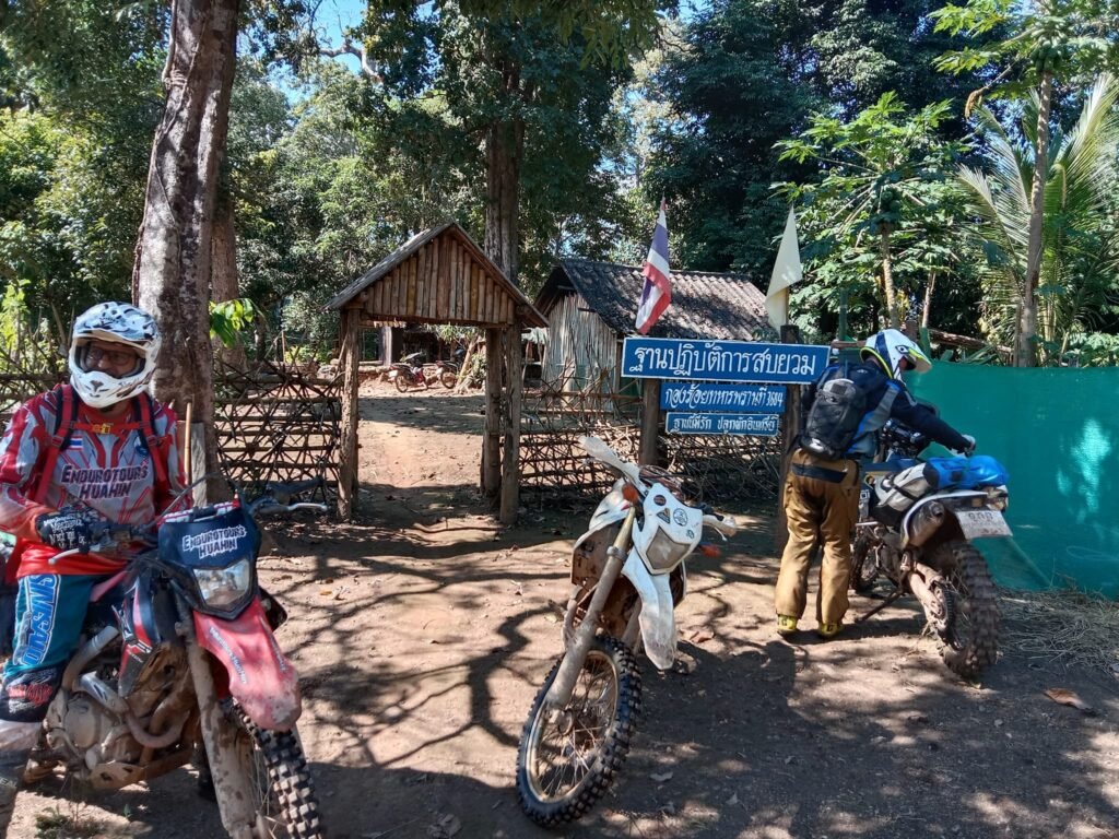

Finally out of the mountains and single trail before the refugee camp. At first I thought it was just a village along the way.
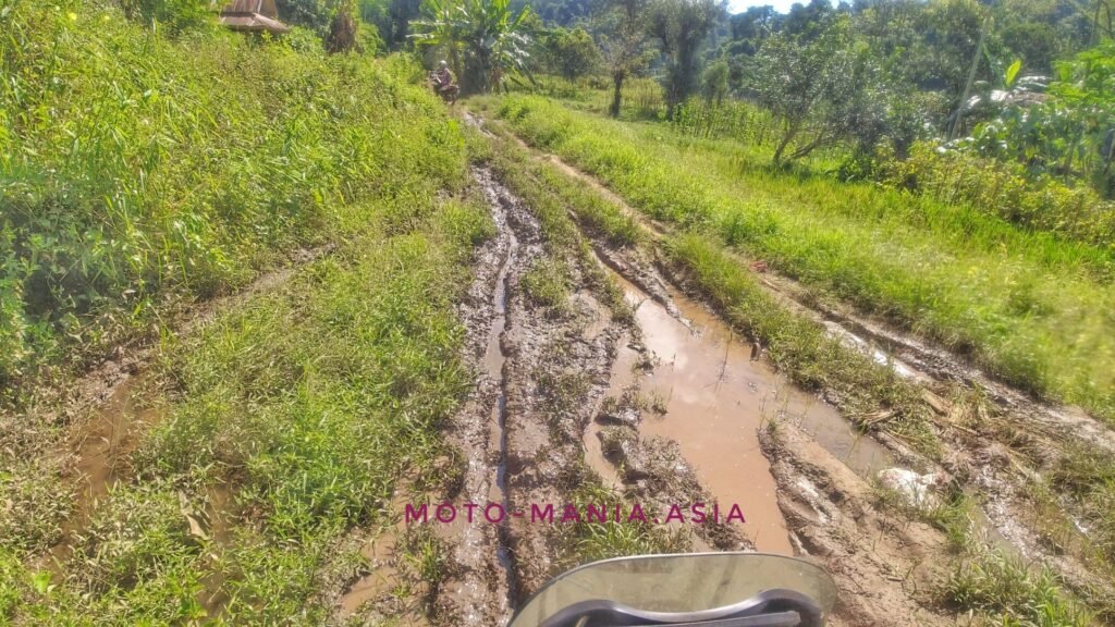

Mae La Oon Refugee Camp
Entering the camp via the single trail along the river is really a back door entrance.
If coming in via the main road there are three checkpoints you need to pass to get access.
Access is granted via permit I later read. No idea how this worked until after we rode through and then investigated further upon returning to Bangkok.
The people are super friendly and genuinely happy to see us.


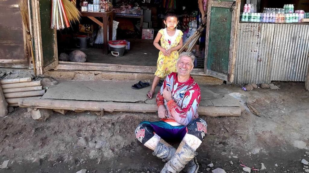


Some still pictures off the video. A bit of dust on the lens so not a clear as they should be.
Better than nothing at all.
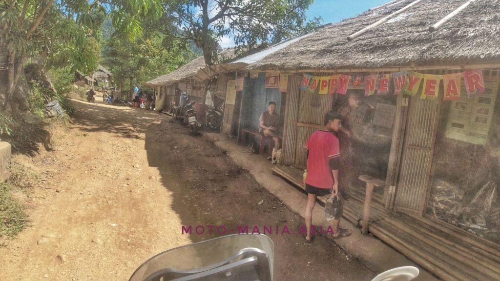


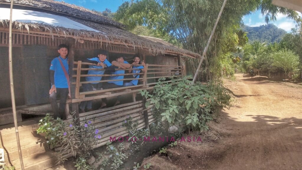


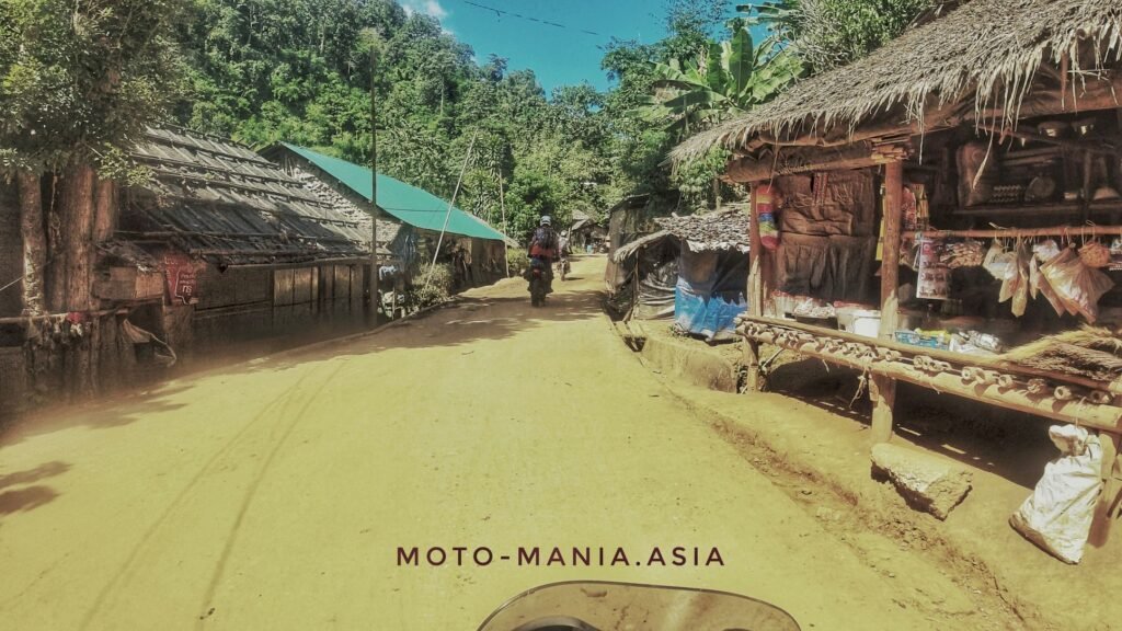


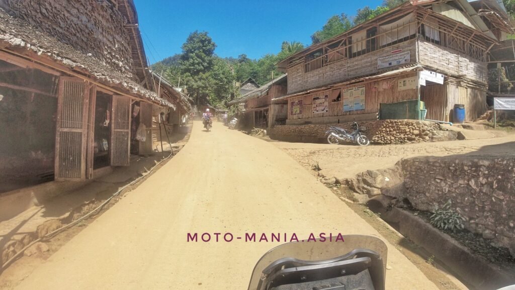
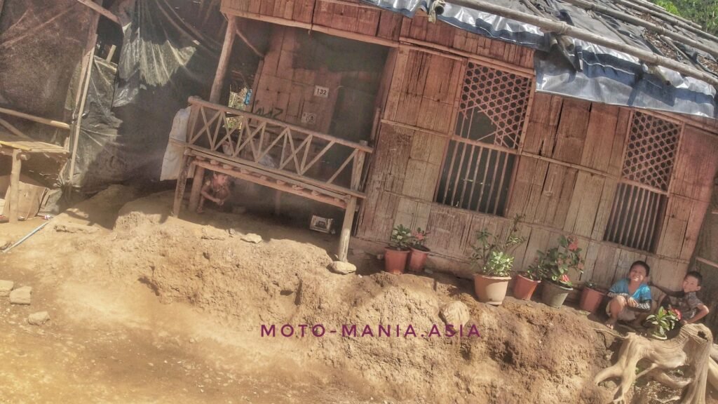
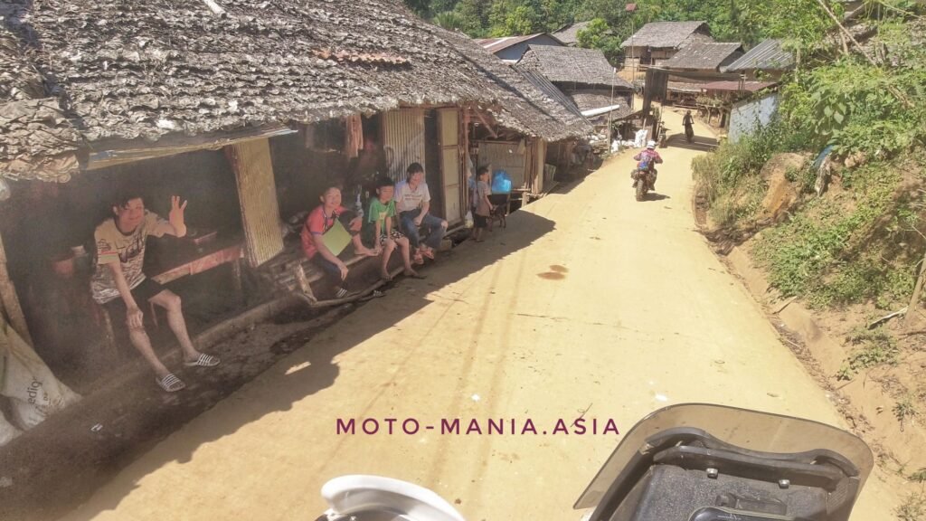

The official gate to enter and exit.


YouTube
A ride through Mae La Oon refugee camp.
The next gate we needed to pass.

There are a few NGO’s working in here.
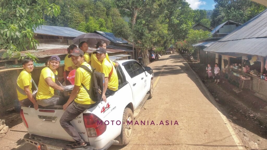
This car looked to be helping people with disabilities. I am guessing from landmines the Myanmar military have left for the people! Sadly a lot of people missing limbs, mainly legs or lower part of their legs.

The last checkpoint.

In the rainy season the 4X4 vehicles need chains to get in and out of here. The trails are mostly dirt, very steep and even this time of year muddy in places.
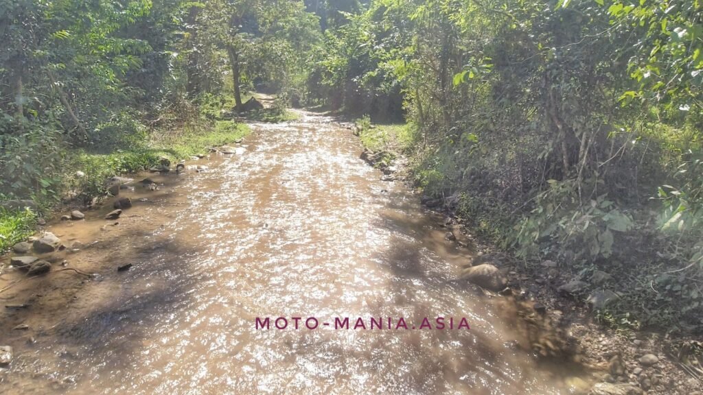
Heading back to Sop Moi on the 105.
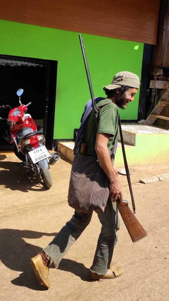
A stop for food first and a local hunter passes the shop.
Salawin National Park – Lost In Myanmar

Ride in on the paved road to the end here, then head off in to the mountains.
N18° 17.137′ E97° 48.908′


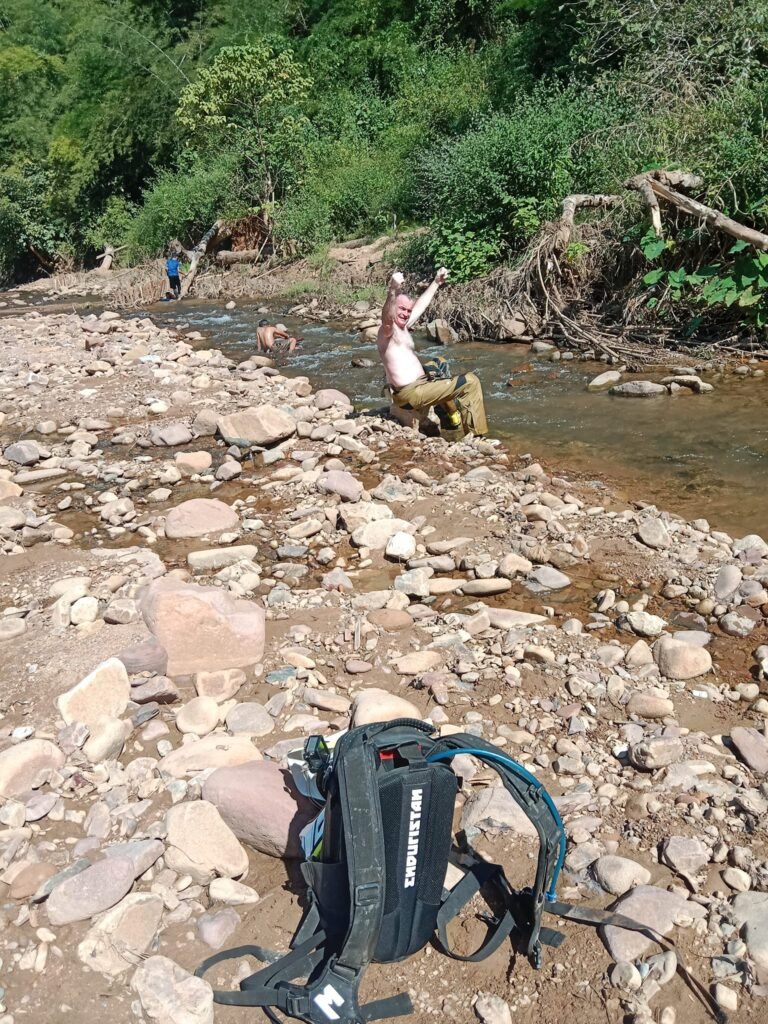
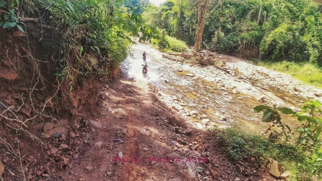
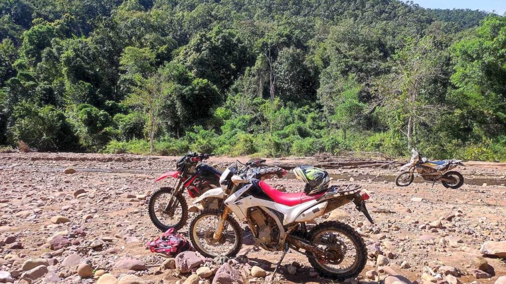
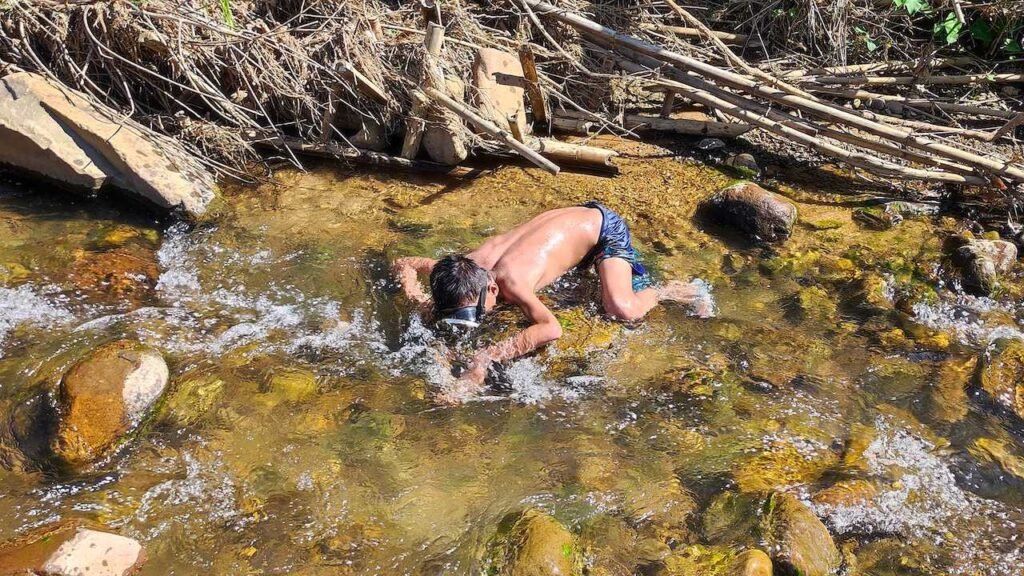
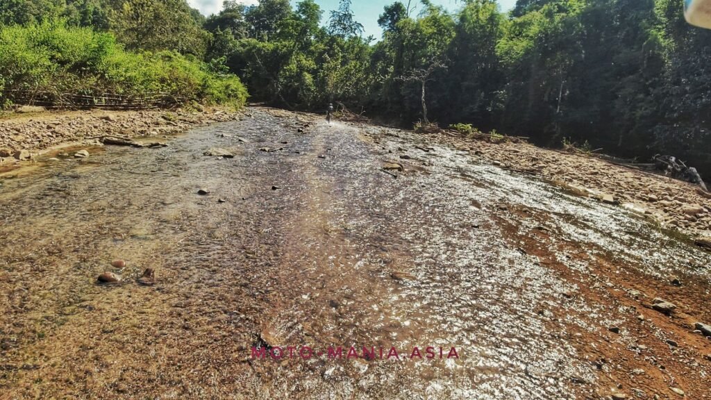
Eventually, we are just endlessly riding through river beds. It was so amazing and so much fun.
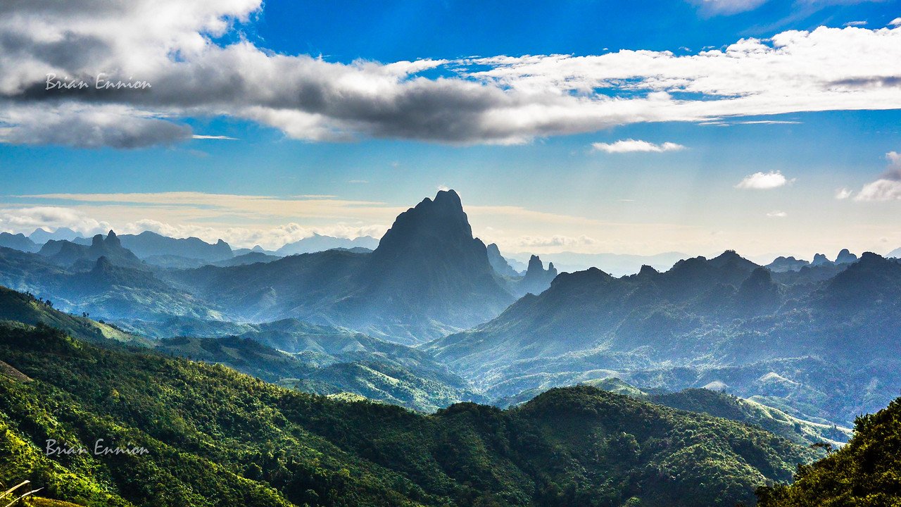
The scenery stunning too as we came across little villages and homes in the middle of nowhere.
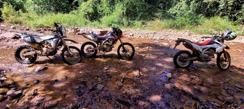








This village has fuel and I managed to get a great photo of a very lovely lady.
When I showed her the picture. I received a big smile back.

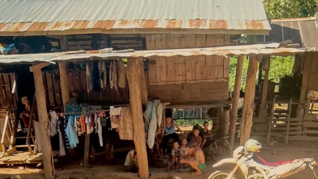


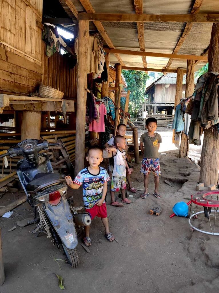


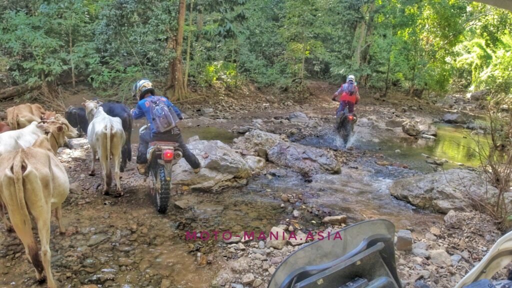


This just kept on going up and up and up and really tight turns.
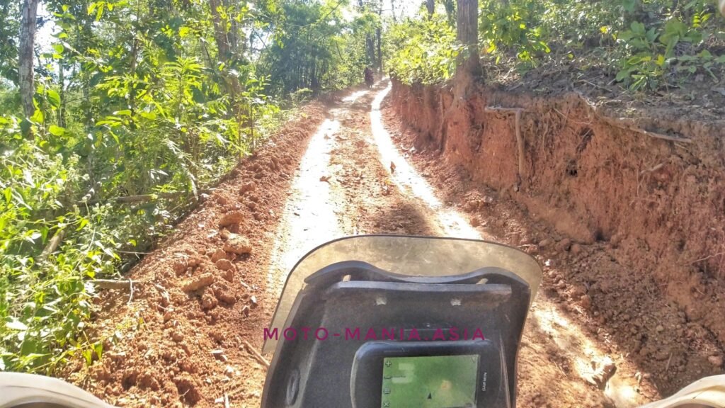
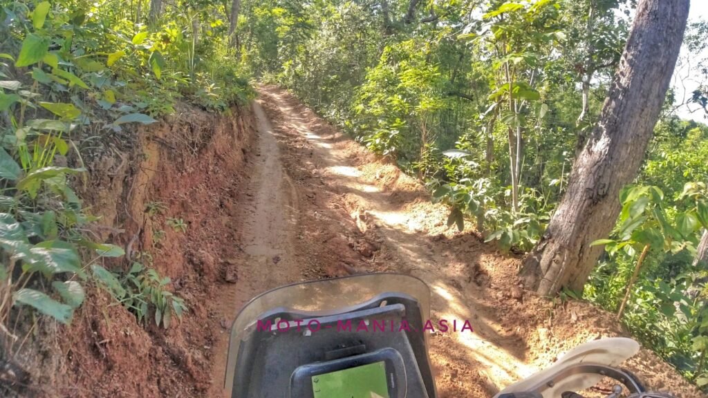

Then out of the blue. We come across villages like this one.
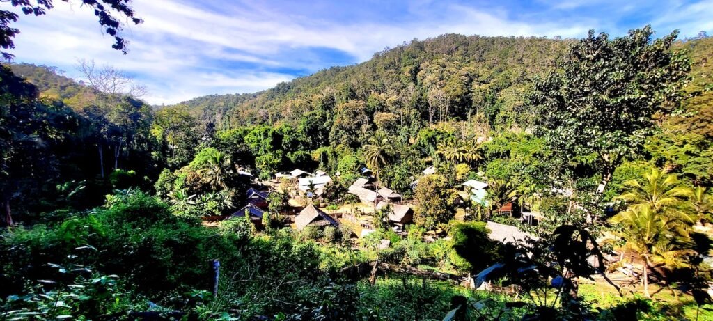


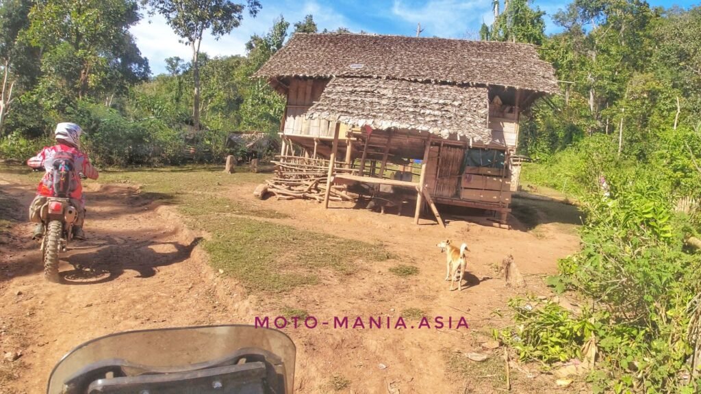
We keep on going through the mountains before we end up at this Border Patrol Police camp and Karen village right on the border.
Jor Pra Kee
N18° 28.875′ E97° 27.528′


โรงเรียนตำรวจตระเวนชายแดน 905 บ้านจอปร่าคี
N18° 28.818′ E97° 27.783′
From what I can understand and may be incorrect.
This school is for the local Karen kids from all the villages in the area. Usually this will cover very long distances and they may well sleep over here as their local villages are too far away.

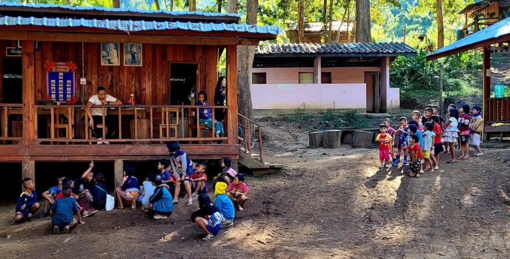
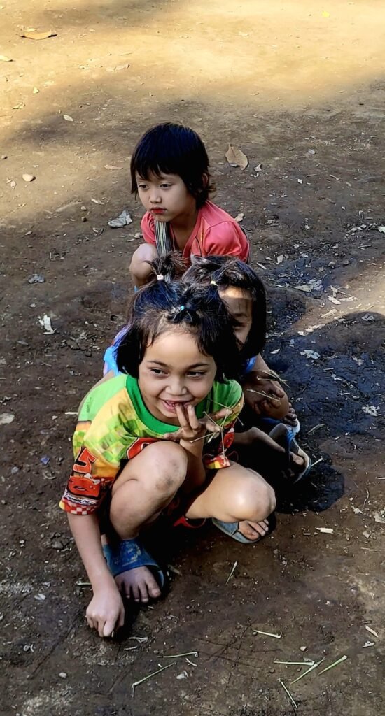


YouTube
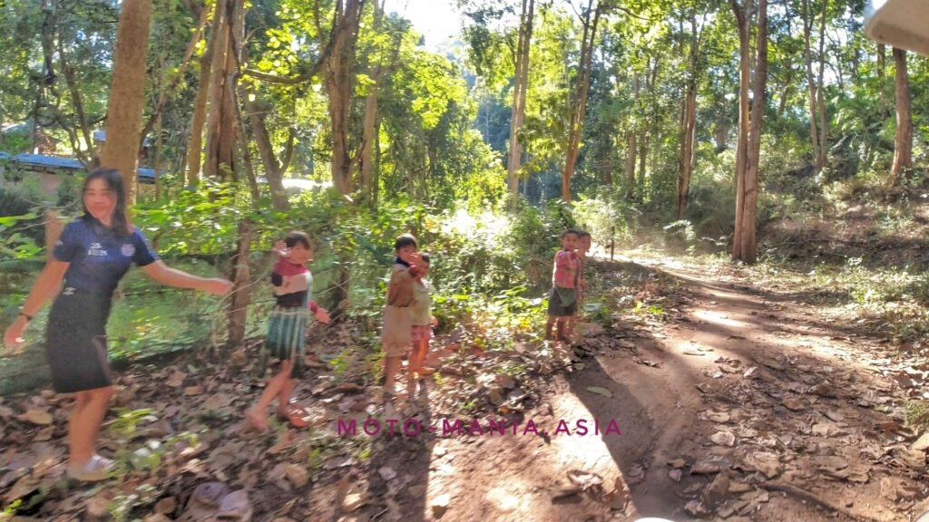
Heading to the view point through the village.


It was a real goat track to get up here.
The Border Patrol Police said we can keep going down the mountain. At the intersection turn right and at the village there is a natural trail back to Thailand.
Sounds simple enough.

View Point
N18° 29.632′ E97° 26.639′


Myanmar


Finally off the mountain and down below. The border seemed to be getting further and further away. It was so tight and narrow and washed out in places. Really didn’t fancy having to go back the way we came.
To the left is Myanmar proper, to the right the Myanmar village and back to Thailand.
N18° 33.349′ E97° 29.148′
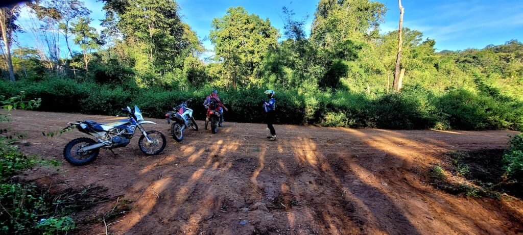
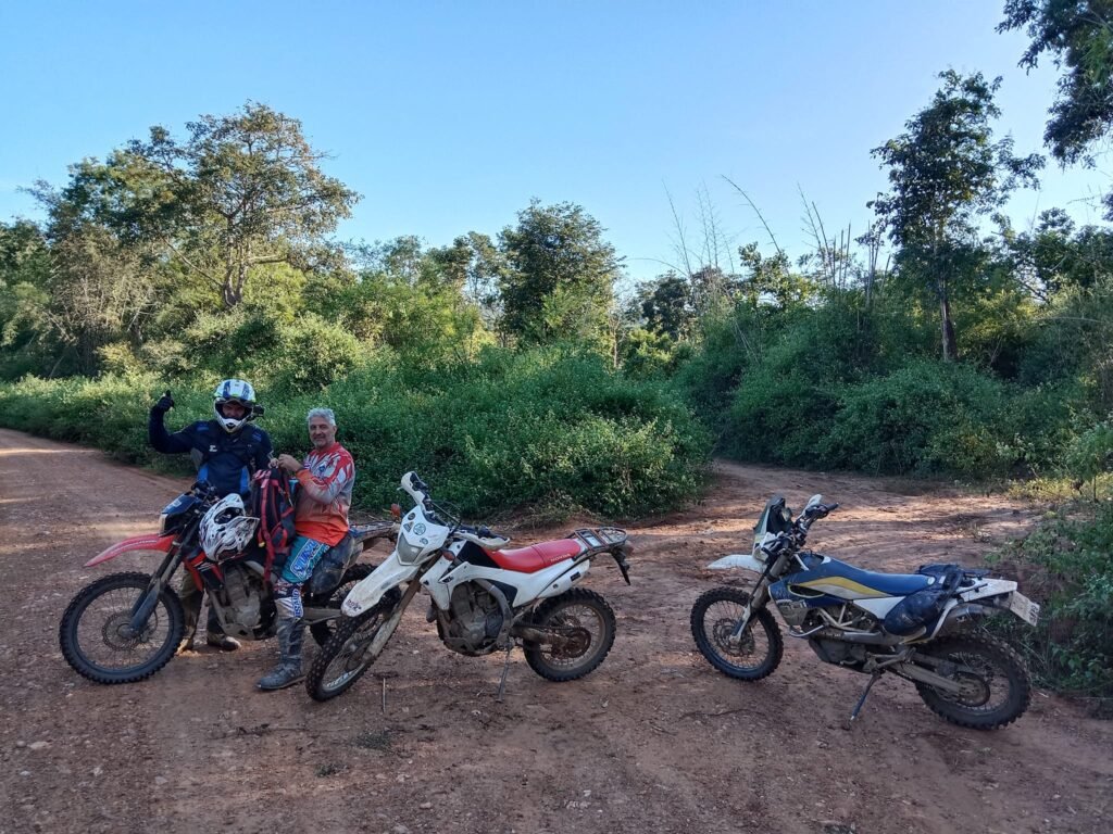
This is the way we have to go, to the right is where we came from once off the mountain.

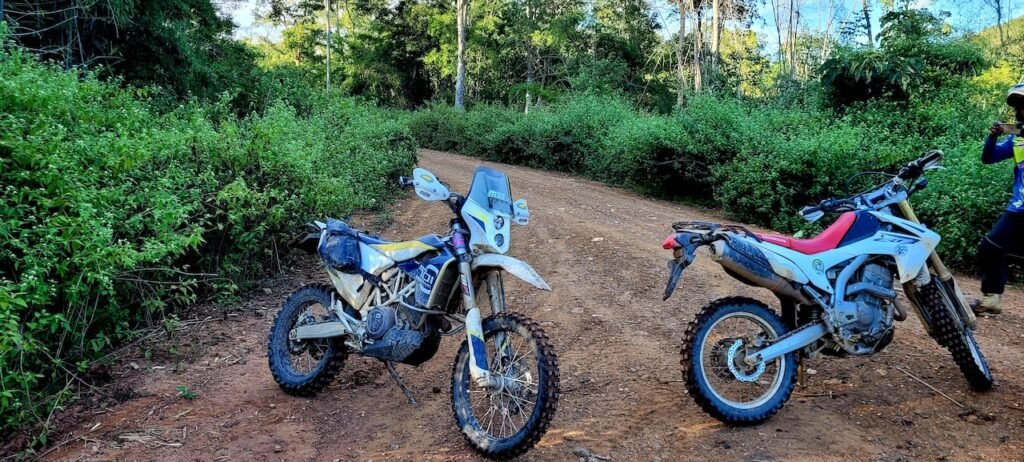
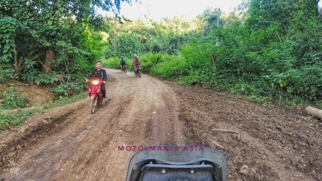
We knew we are in Myanmar when the traffic came at us on the other side of the road.
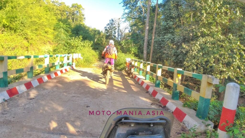
Also the bridges are the colour of the national flag.
Then we came across these logging trucks.


Entering the village
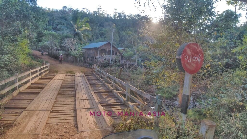
We reach the Karen Village
N18° 32.295′ E97° 32.809′
Pom asks for directions. We are told to follow the road up and the trail is on the right.


After going a fair way through the village and road works we hit a trail.
Thinking this is the way, off we head.
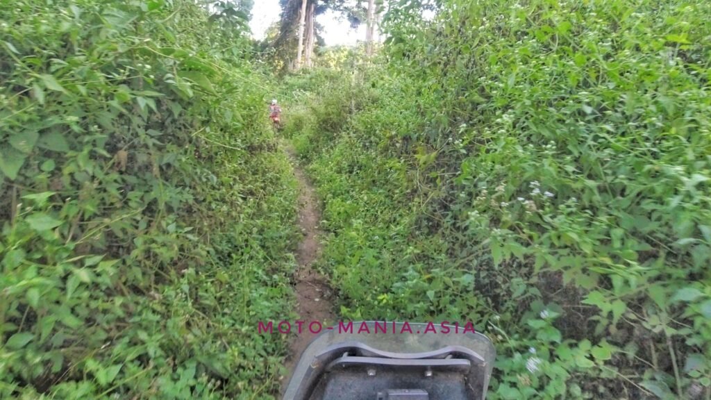


Red signs are never a good sign in general.

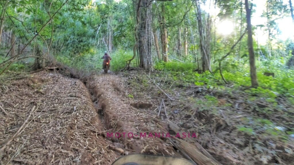

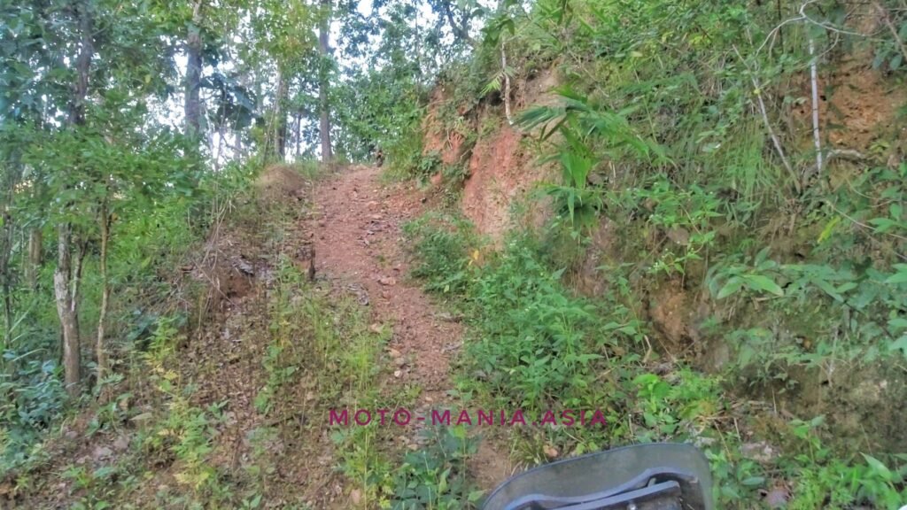

Having doubts we have going the right way.

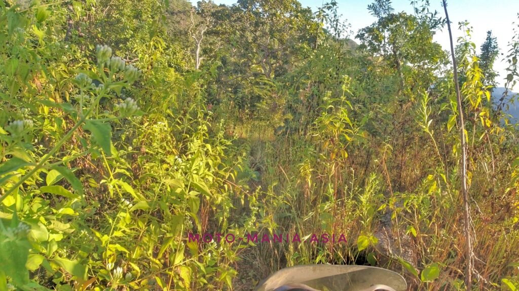
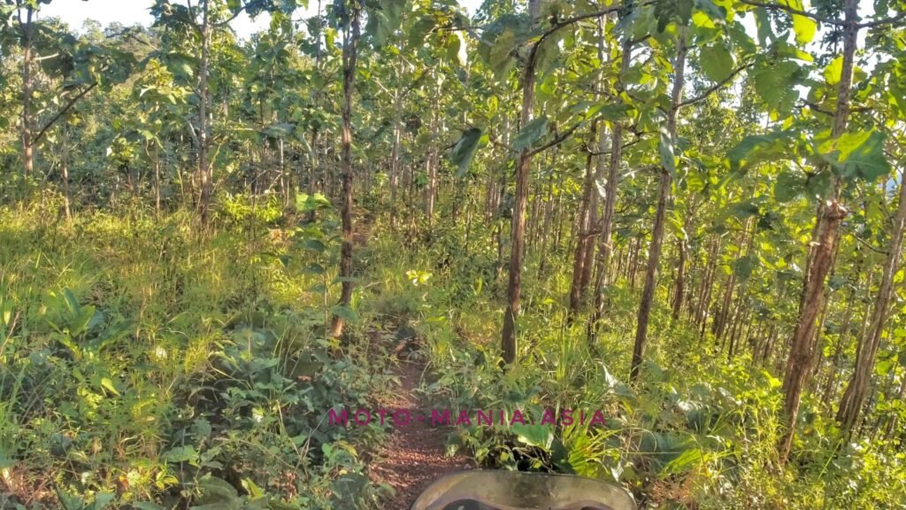
Bike over the mountain side
N18° 31.499′ E97° 33.616′
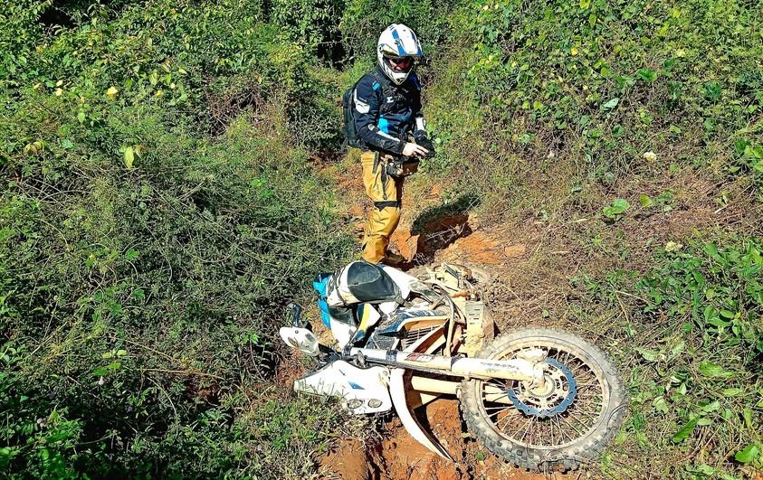
Pom manages to throw his bike over the edge and rolled further down in to the ravine.
The bike only stopped because of the tree.
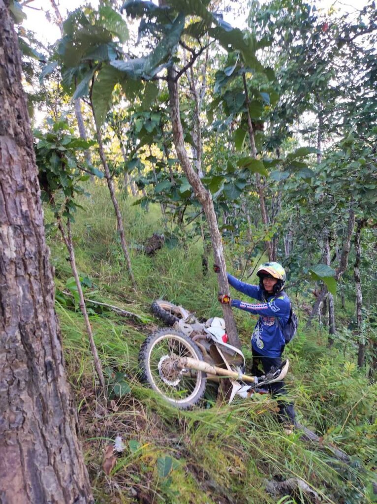

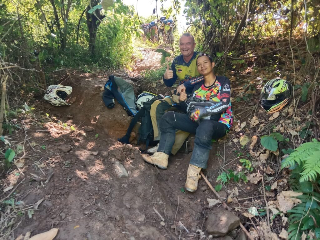
I had a long rope with me. It was a real pig to pull the CRFL up. We tied the rope to the bike and then to a tree. In case the bike slipped away further down the ravine.
Pom lifted the bike up a bit to stop it digging in. Carsten pushed and I pulled on the rope.. Inch by inch we managed to get the bike up and not before time, as the sun was setting in the mountains.

Back we go to the village and ask for directions again as that is clearly not the way back to Thailand. Though we are right on the border. The trail seems to end at a farmers hut on Google Earth.

The trail from the Border Patrol Police back to Thailand.
25km in total.

The local lets us ride through his gate and out the back of his property. We link up to the natural trail heading back to Thailand. After another 10 mins it was dark and we are riding with headlights.
After riding through this natural trail. I understand why in the rainy season there is less illegal migration. It would be very dangerous if not impossible to pass.
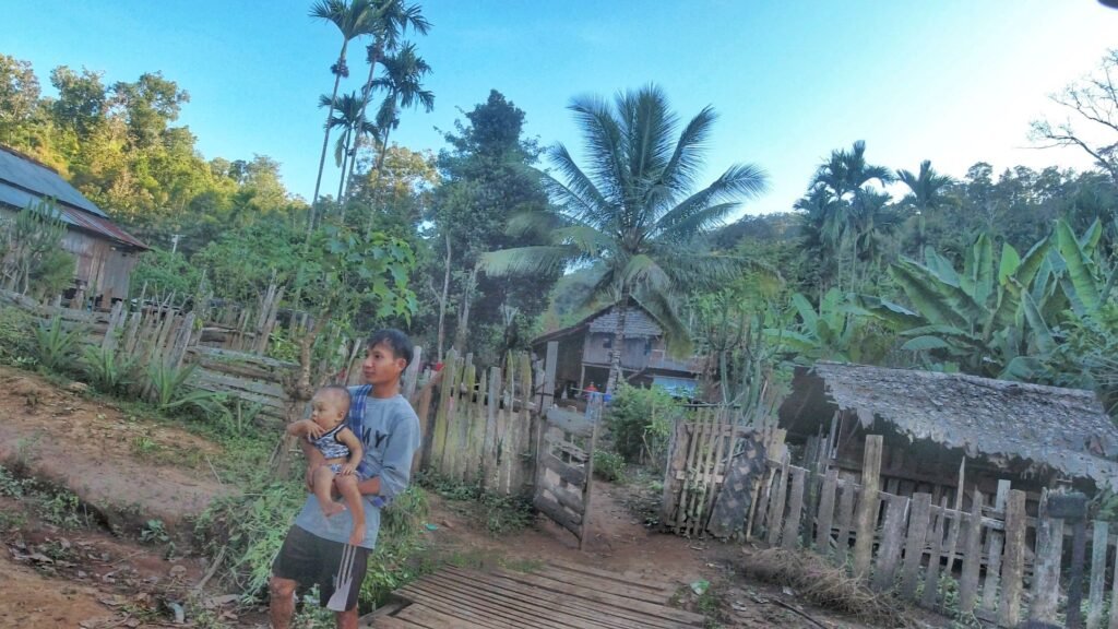
Truly amazing in here. Through creeks and single trail as well as riverbeds until we meet up with the trail we rode in on earlier. No pictures as it was dark and we were tired.
We make our way back to this village with a shop. They had all gone to bed. The noise of the bikes woke them up and we had some noodles, a drink and topped up the fuel. The rest of the village woke up and came for a look.

Getting closer to the tarmac road in the National Park.
It is now 12.03 AM according to the video
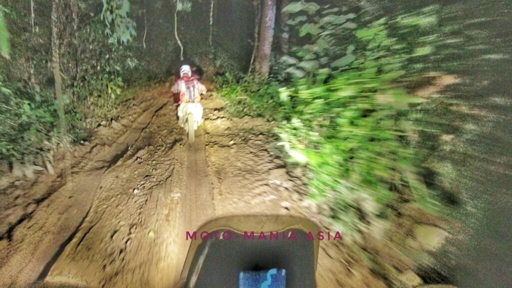


Just after we get on the tarmac. My fuel light comes on.
Nurse the bike back to town. Nothing is open along the way. The PTT in town is closed too.
Empty 2.5 KM from the hotel. Carsten tows me back the rest of the way.
We arrive back at 2.40 AM.
Shower and change and head to the 7/11 for some mixers with Regency and some Hamburgers.
YouTube
Truly amazing in here and a real adventure. Just wish it wasn’t at midnight in the bush.
The next trip is in the planning.
BBQ with Karen Friends
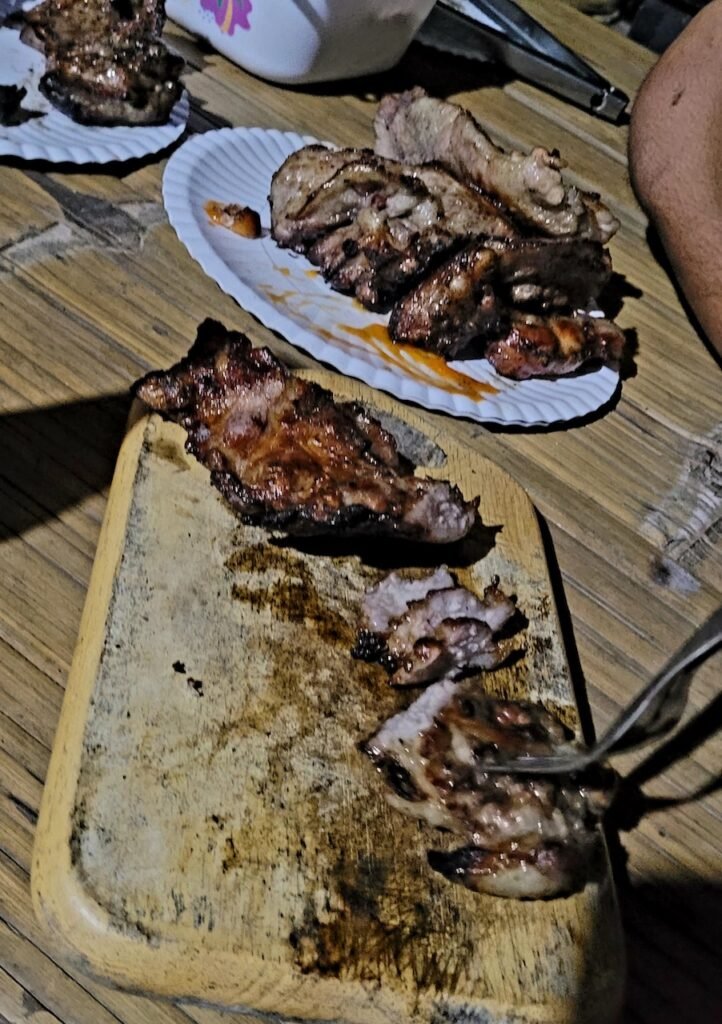
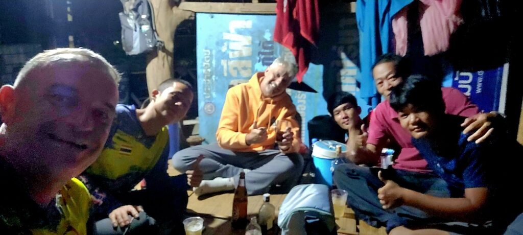
Our Karen friends kindly invited us to BBQ one night.
Lovely kind people. The first time to meet was with Filip last year when we visited.

I had a lot of tracks from friends that were kindly given to me for this area. Having known Pom for one year and seeing his Facebook posts, which looked like fun. Carsten and I decided to ride with him and see if we can get a a real good local experience and new tracks and trails that you won’t get following what others have done before.
We had a great time and a big thank you to Pom.
We will teach you about distance, time and locations next visit. 😉
Thanks to Carsten too for helping out when the 701 didn’t want to obey.
Mae Sariang didn’t disappoint either.
Good old ‘FUCK TOM! SOUP’ is a winner

Until the next adventure.
Cheers
Brian
Cool ride and great post.