
Bangkok to Chiang Khong. Early wake up and out the door at 5 am heading to the airport.
Arrive in Chiang Mai, head over to
Keng Engine
Lat 18.8125584 Lon 99.0161812
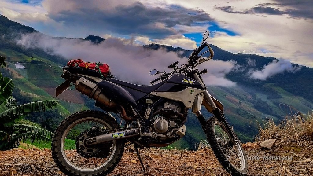
The KLX sitting, waiting for me with my riding gear. Plus a new Keng Engine / Kawasaki Jersey. ( Thank you Keng )

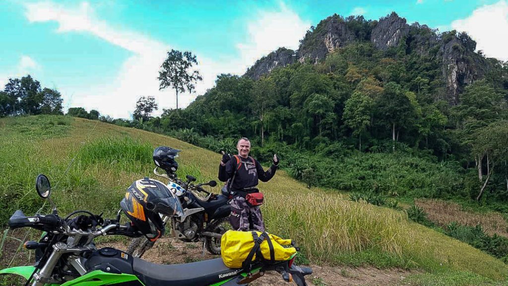
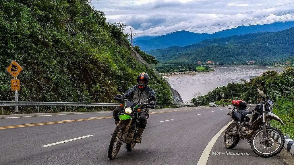
Load up and head off.
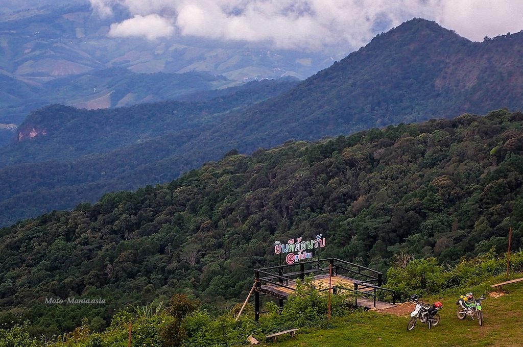
It is now 11:15 am. So need to crack on if I want to fit in a visit up to Phu Chi Fa.
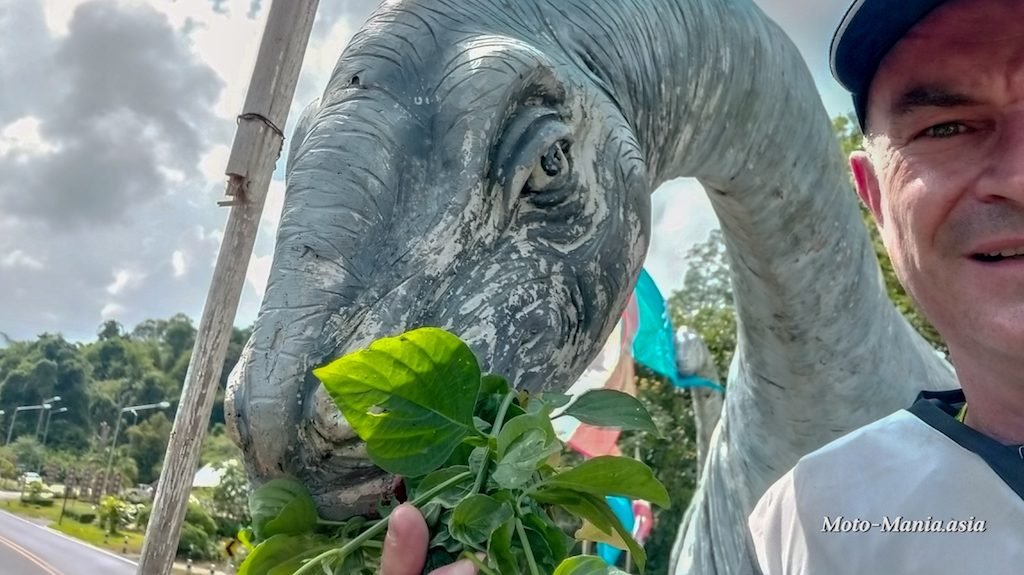
First a stop to feed the local dinosaurs at the view point over looking Phayao.
Lat 19.06140 Lon 99.78270
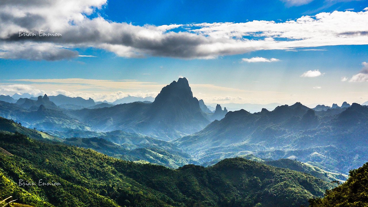
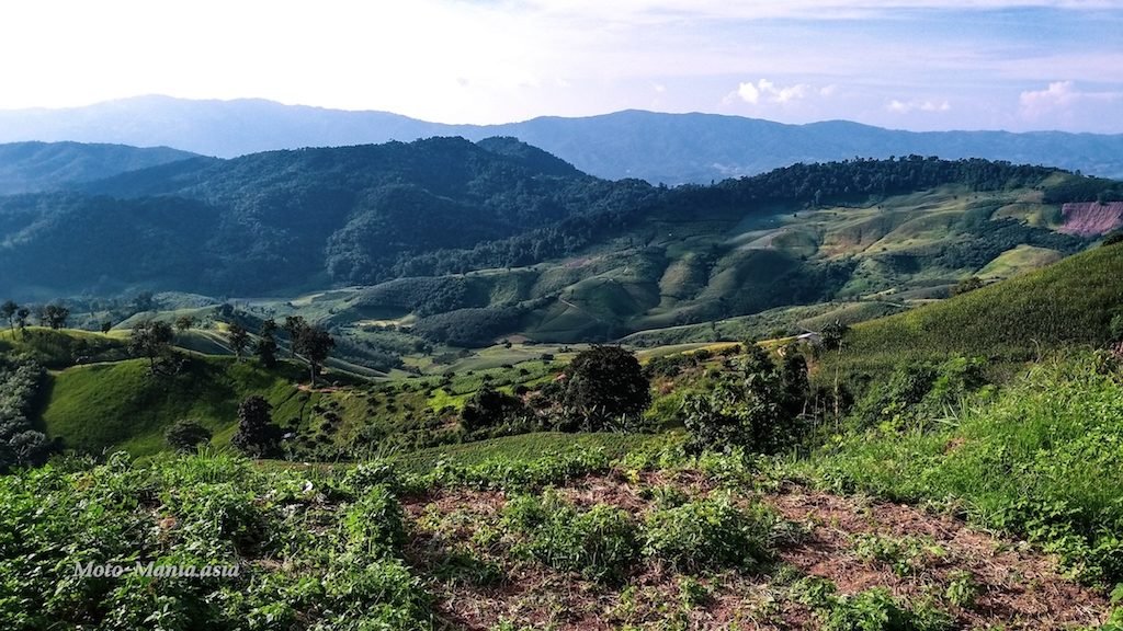
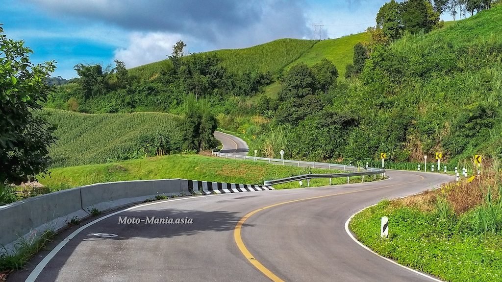
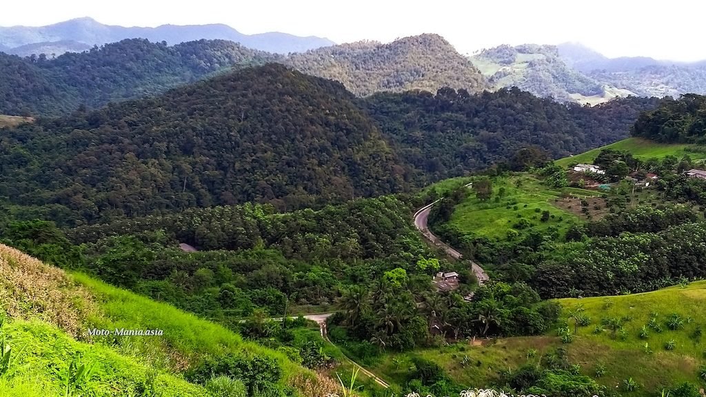
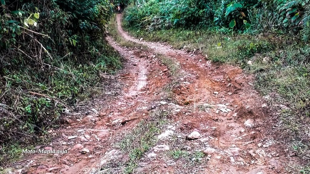
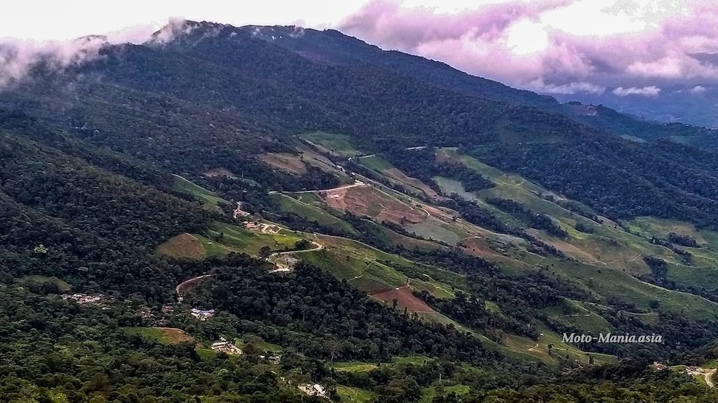
Then continue on towards Phu Chi Fa and the remote twisty, winding mountain border road.
One of my favourite rides.
A lot more fun on the KLX 300 over the bigger bikes I had in the past.


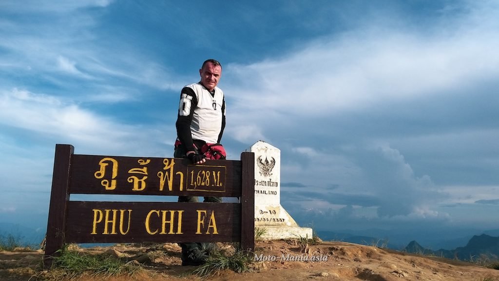
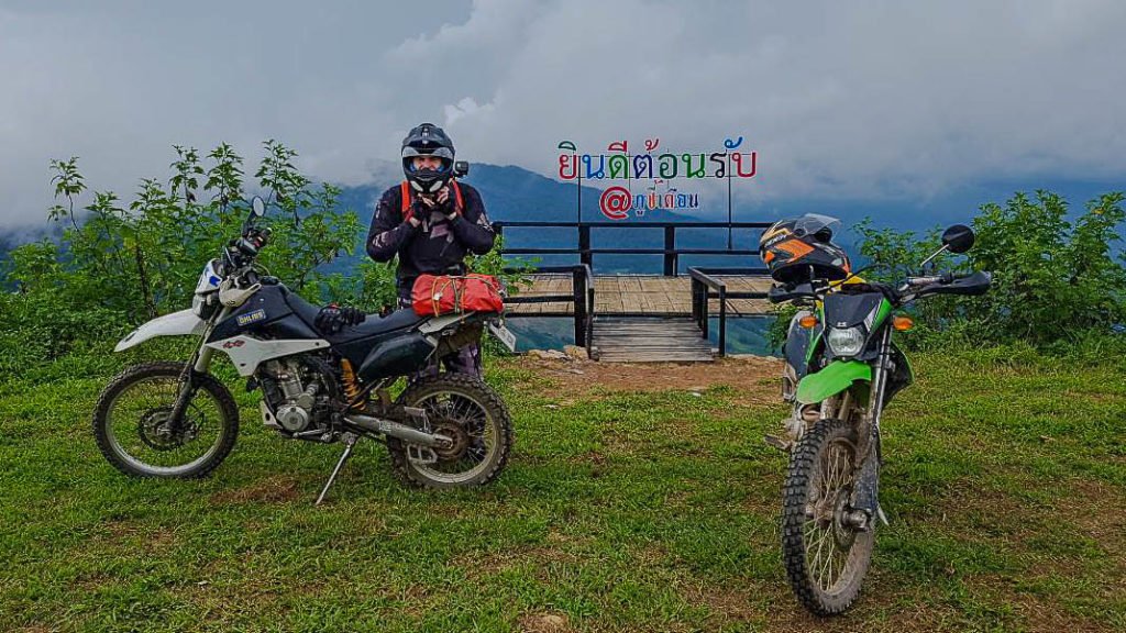
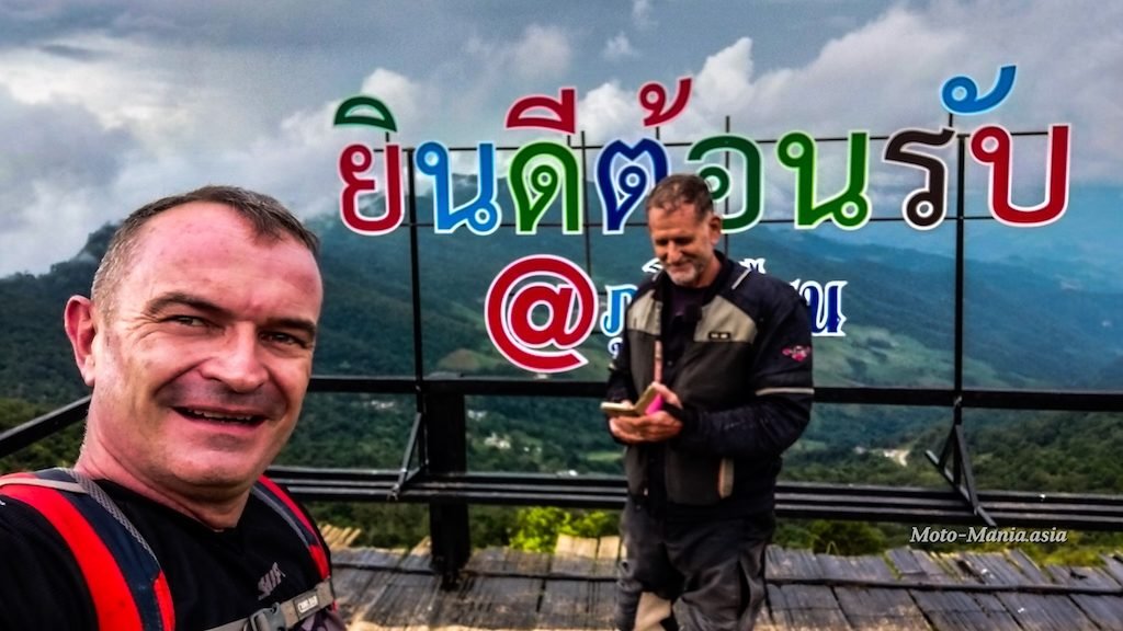
Arrive at Phu Chi Fa just after 4 pm.
Not much light left. It will be a rush to get up and get back down from the view point.
As well as get out of the mountains before dark.
The ladies selling drinks and food said they will still be here at the car park when I get back.
So left my helmet at the stall with other gear and head up the 760 metre climb in my riding boots.

The Lion and the Lao village in the valley below.

Huffing and puffing, passed every one getting up here..
Trying to beat the light.
I haven’t gained weight.. It is the body armour underneath – honest.
Phu Chi Fa border marker
Lat 19.85027 Lon 100.45391
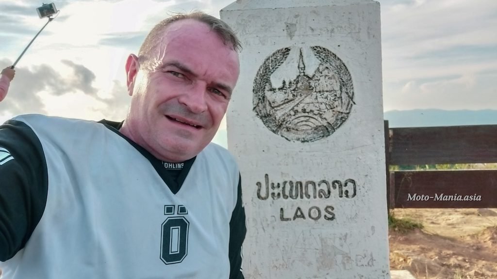
Pop over the border in to Laos.
Someone really needs to open up a Beer Lao bar up here.
Full 360 picture. Click, zoom in and out and pan around.
Next best thing to being here.
By the time I made it off the mountains it was just on dark..
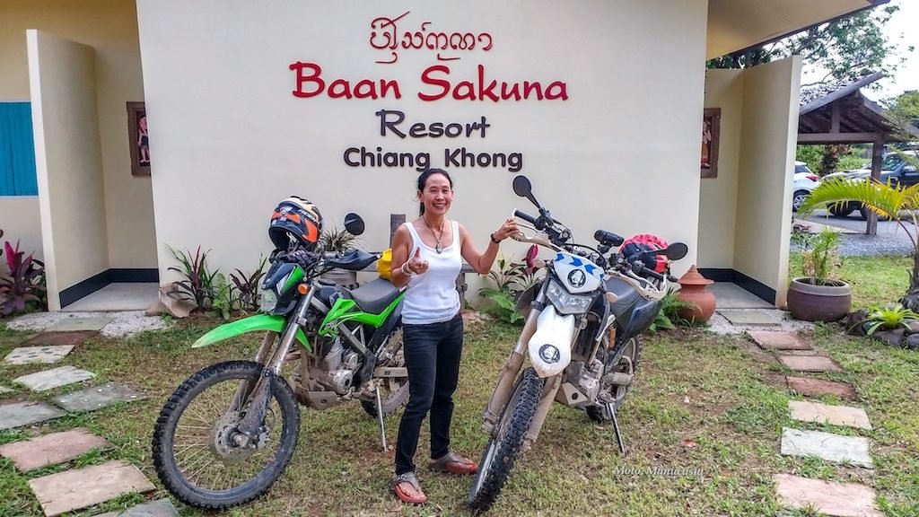
Arrived at Baan Sakuna just after 7pm to a lovely welcome from Mai and David.
Check in to this fabulous room.

More in the link about Baan Sakuna.
Relive Tracking:- Chiang Mai – Phu Chi Fa – Chiang Khong.
The next day David took me to explore his fantastic trails.
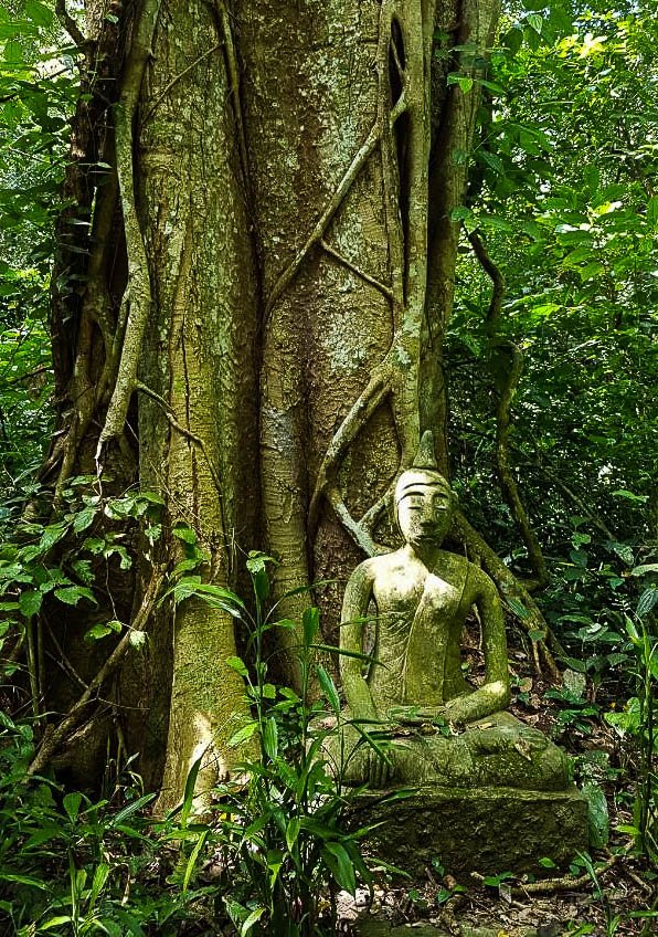
First a stop on the way out of Chiang Khong to a little known abandoned 700 year old village.
Lat 20.24163 Lon 100.40614
You can still see the ancient walls in the over grown jungle. (No picture, but in the video at the end)

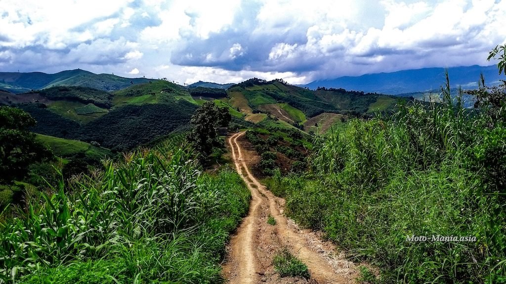
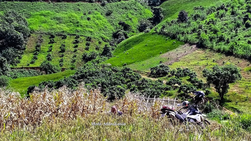
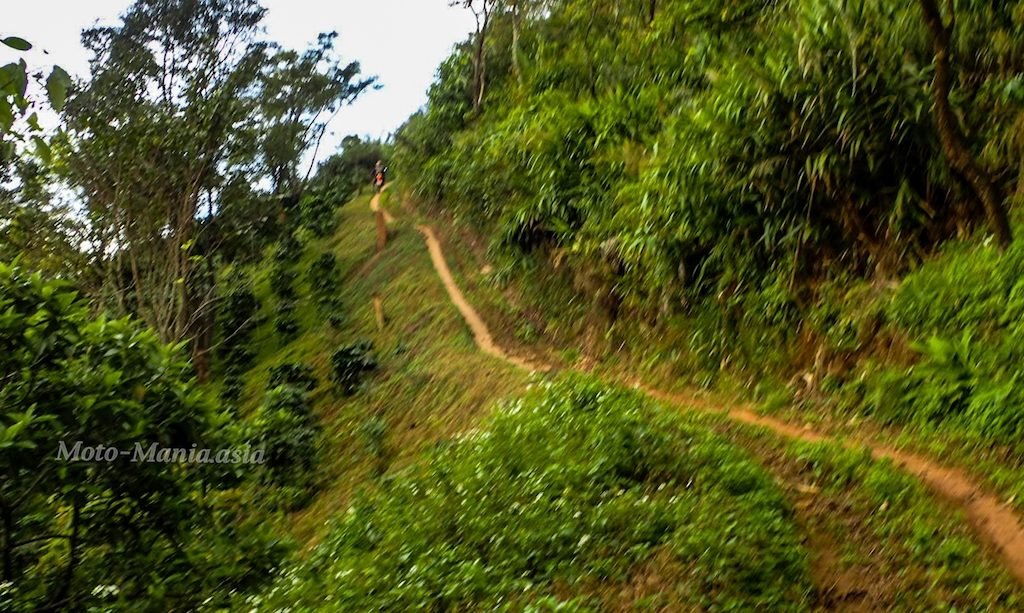
Then off to explore the trails
But first we have to pass a police check point.
Cops super friendly as usual.
Where are we going? What are we doing?. Smiles, laughs and thumbs up.
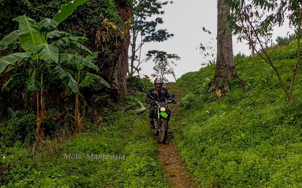
On we go to the trails.
Just stunning in here. Can’t wait to get back and loop it up when not so wet and greasy down below.
I hope I am still riding trails when I am 72 years old. 


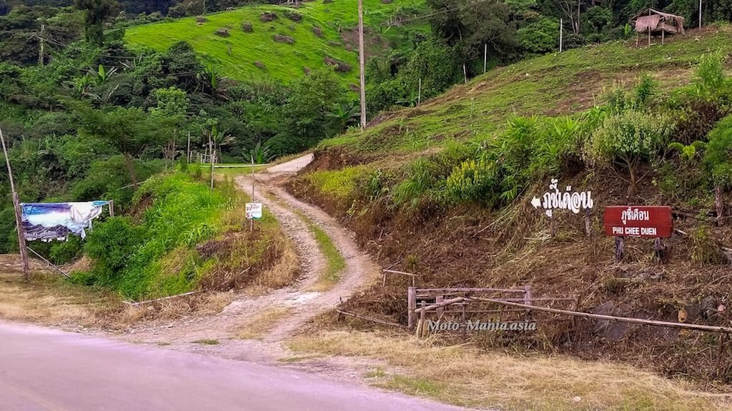
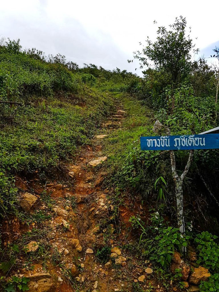
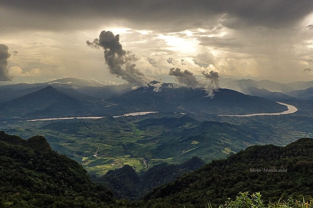
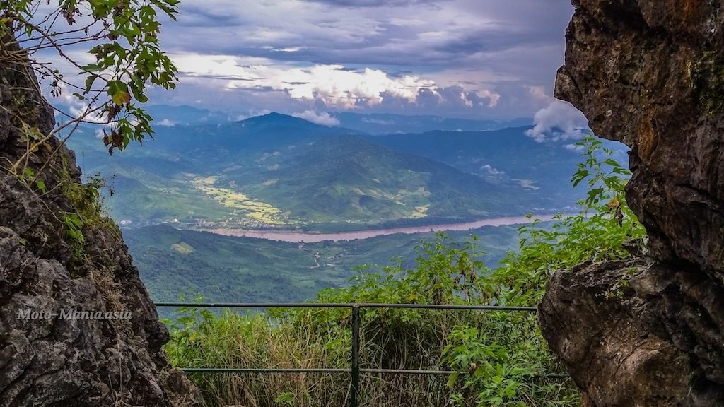
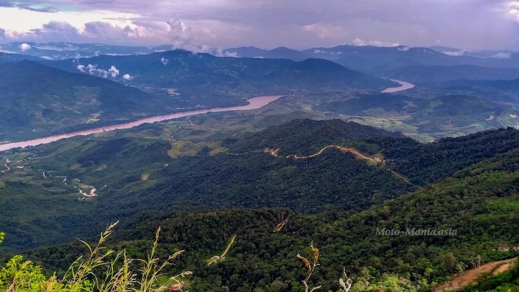
Phu Chi Duen.
Lat 19.87753 Lon 100.48978
The entrance off the main road.
The locals can drive you up to the view point. ( Details in the linked article below)

The path near the top up the mountain.

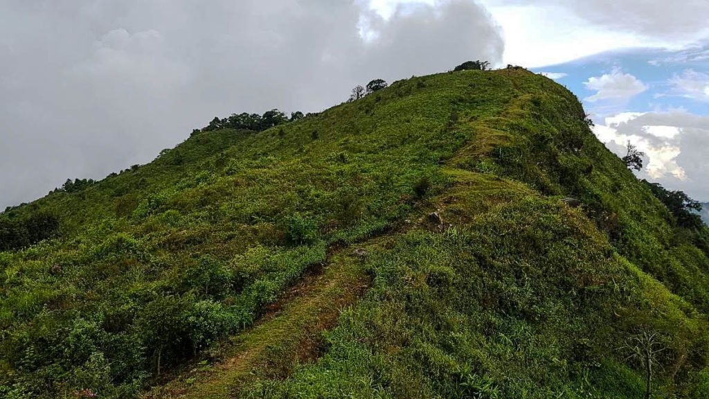
Arrived at the car park. There is camping here also in the high season.
I read there is a toilet. But didn’t see it and wasn’t looking for one.
A 200 plus metre hike up to 360 views.. Stunning, stunning, stunning..
Bring some comfy shoes with good ankle support.
Standing on Top
Lat 19.88144 Lon 100.50022
A full 360 view at the top.. Click and zoom in and out and pan around.
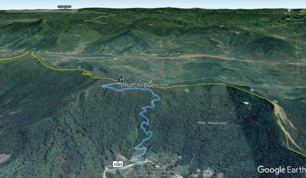
The Ride Up Phu Chi Duen
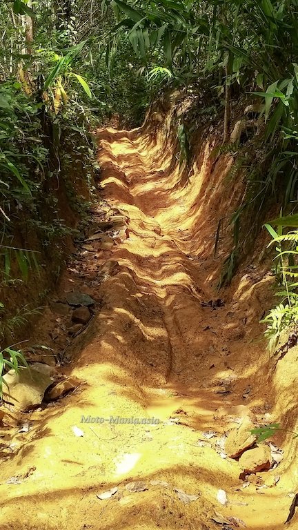
The track overlayed on Google Earth. 2.9 Km from the main road to the car park.
Steep and some loose rocks as well as greasy when wet.
Felt the back move a couple of times. But really my fault.. Bit too much throttle.
Dual Sport, Experienced 4X4. Big Adventure bike only if you know how to handle it on the steep stuff.
Much more intimidating coming back down, especially as it was a little greasy.
Phu Chi Duen.
“At the time of writing, Phu Chi Duen is the newest tourist destination in Chiang Rai. It was officially opened to the public by department forestry and Tourism Authority Thailand on Dec 4, 2016. Phu Chi Duen is also located in Doi Fah Mon mountain rage, exactly in the middle point between Phu Chi Fah and Doi Pha Tang.
Phu Chi Duen is the second highest among all peak in Doi Pha Mon mountain range with the elevation of 1,743 meters above the sea level, just behind Doi Pha Tung, whereas it’s 1,628 meters and 1,688 meters for Phu Chi Fah and Phu Chi Dao, respectively. It is just under on hour’s trek from Phu Chi Dao, but from Phu Chi Fah, you need to ride a vehicle because it is far and the trail is very rough.
To get to Phu Chi Duen is similar to the way to get to Phu Chi Dao. You need a 4WD or a powerful motorbike to get to the parking area near the peak. There is a truck service in “Ban Rom Pha Luang” village and the fare is the same as Phu Chi Dao – 500 Baht for the whole ride and if more than 5 people, it’s 100 Baht per person. It’s about 2.8 kms from the to the park area, then you need to hike for another 300 meters to the peak.
Since the road to Phu Chi Duen is more dangerous other peaks, it’s not recommended to ride your own vehicle to the peak because the road is very narrow and steep. It’s better to take truck service from drivers from the village because they are familiar with the route. If you you arrive by a vehicle, you park your vehicle in a village called Ban Rom Pha Luang. Then take truck service there.
Phu Chi Duen is pretty much similar to Phu Chi Dao in many aspects such as terrain, surroundings and views. On the peak, you will enjoy a 360-degree panoramic view without trees to obscure the vision. Phu Chi Duen has a wide flat area near the top which the department of Forestry open for public for camping. The area is very quiet and very less crowded but there is toilet and a couple of drink stalls near the camping area.
On the peak, there is a point where we can see the border between Thailand and Lao PDR with a long mountain range in the background. You can see Phu Chi Fai from here as well.”
Click on the link to read more about the other Phu’s in the area.
https://www.chiangraibulletin.com/2017/11/29/four-phus-in-chiang-rai-once-deadly-zones-now-heaven-on-the-mountains/
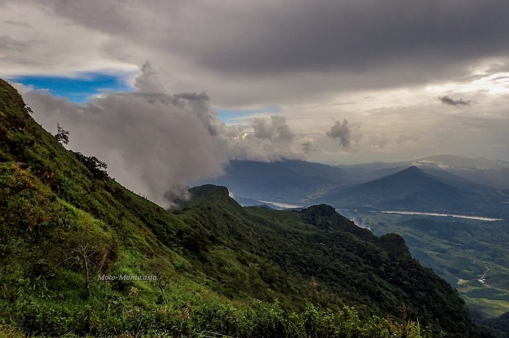
Doi Pha Tang.
Lat 19.93103 Lon 100.52038
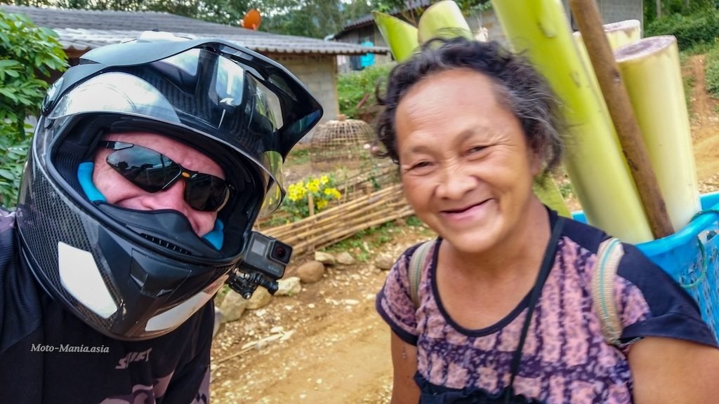
Having tea and cake with the shop stall seller.

I can’t get enough.. Up I go again.
Fifth or sixth time? Lost count.
Notice on the Lao side.
The Lao Army are building a track all the way to the top just over the border ridge line.
That must suffer terrible wash outs in the rainy season.

360 view. Zoom in and Out and pan around
Cruising along enjoying the road and tracks as well as the mountain climbs.
Then off to a really fun dead end track.
Started to rain which made it a bit greasy and slippery.


Even after all these years in Asia.. I still find these sights amusing at times.
David still wanted to ride.. I begged him to give the young fella a rest.
Ok… One more ride.
When you are 72 years young and still like to play in the back yard.
Relive tracking :- Chiang Khong Exploring
It rained all night.. Non stop.. So trail riding on the steep slippery stuff was out for today.
David took me around to show me the sites as well as point out where the tracks are for future rides together up here.
Lelaikham Museum
Lat 20.1496071 Lon 100.412262


We didn’t go in to the Museum as visited before. Well worth a look if you have time.
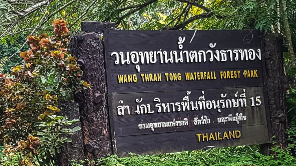
Wang Thran Tong Waterfall.
Lat 20.30194 Lon 100.27517
The water flows all year around. If you are about in the hot season and want to cool down pay a visit.
It looked pretty inviting.


The entrance from the main road. There is a concrete road to the right of this picture. 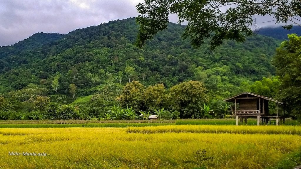
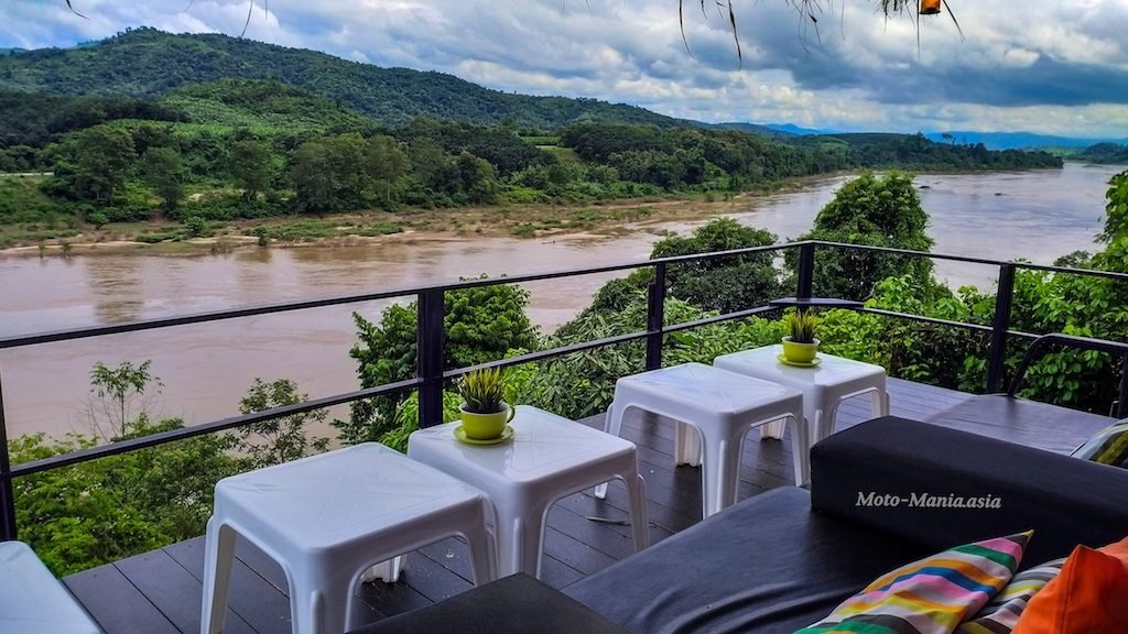
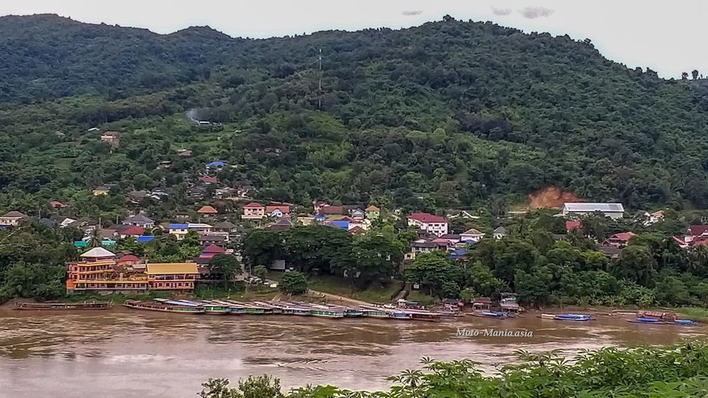
The View
Lat 20.33985 Lon 100.37413
A must stop for fine food and views over the Mekong


Off Exploring more tracks and trails.

Making our way back to Chiang Khong stopping along the way at various villages and sites.
Kuomintang Cemetery.
Lat 20.27355 Lon 100.39969
All locked up and doesn’t look like in very good repair inside.
A hang over from the Chinese civil war and migration around the region of a Chinese Nationalist Army escaping the communists. Ending up here fighting the communist forces in the area with the Thai Gov’t / Army.
A very detailed review on the history here in Jurgen’s report.
http://bikinghobo.blogspot.com/2015/02/the-kuomintang-cemetery-in-chiang-khong.html


Back on the road.
Zoom ahead and get a picture of David passing, with the Mekong back drop.
The kids were not interested in a picture until I put the phone on Selfie mode.
Then all smiles and looking to have a picture taken.

This ladies reaction when she saw herself in the phone. Selfie mode was hilarious, she laughed so hard.
Shame I didn’t have the Go Pro on to capture it.
Next take in some views of Huay Xai, Laos from some of the dirt trails around town.

Back to Baan Sakuna and cold Beer.
Below is a short video of the Three days riding.
Chiang Khong:- The Mekong and Remote Border Mountains.
A brilliant long weekend.. I will be back for more off-road exploring in the area.
Thank you again Mai and David.. So good to catch up again after so long.
Cheers
Brian
Great photos
Thank you so much Brian for what is the best post of a ride in Thailand I have ever seen
History, great pictures (no need of a drone!), short videos that give the essence and the feeling of your trip
I am here in Chiang Mai riding my bike for 17 years up to 25000 km per year now that I have more free time but I was enjoying all along your post almost as much as riding there myself. Congrats and may be for a ride together some day….. would love it!
Cheers Guys.. Thanks for the kind comments.. Dominique.. If you reply here with your FB or other contact details.. I will msg you.. But won’t publish your reply.. Always happy to meet up with fellow riders on the road.
Terrific writeup and photos as always. Amazing that you are able to get so many pictures with all the riding. I’ll be in that area later this month and will try to visit some of the places you mentioned. Thanks for all the ideas.
Cheers Scott. The benefit of riding on your own or with like minded people that want to stop and look around. Not just blast past everything.