
What to do next?
In Phonsavan and Hmong New Year is still a few days away. Thinking what to see and do next?
Over beers started chatting with some Australian archaeologists from James Cook University that are here checking out various Jars sites.
They highly recommended heading out to Site 52. It is approx 27 km out of town on the paved road then about 16 km dirt through the mountains.
Feeling a bit lazy this day. I was on the bike around 12 or 1 pm. This ride and site visit can be done in a morning or afternoon.
Getting to Site 52
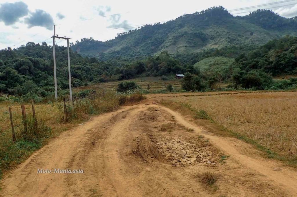
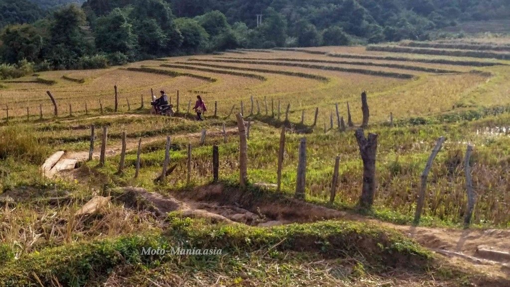
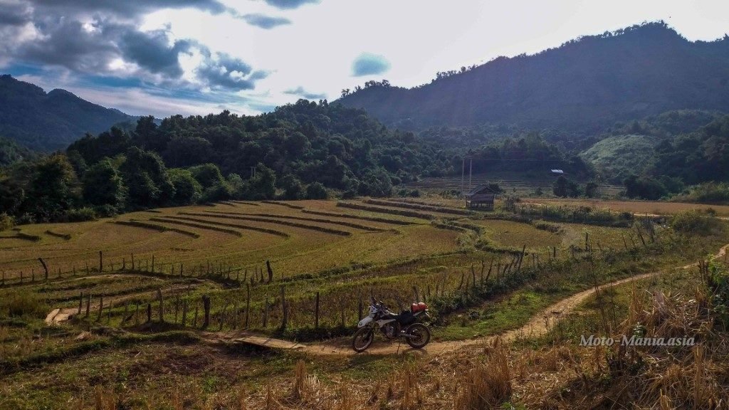
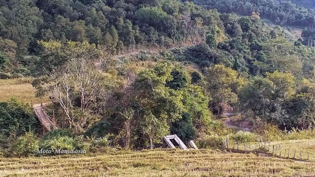
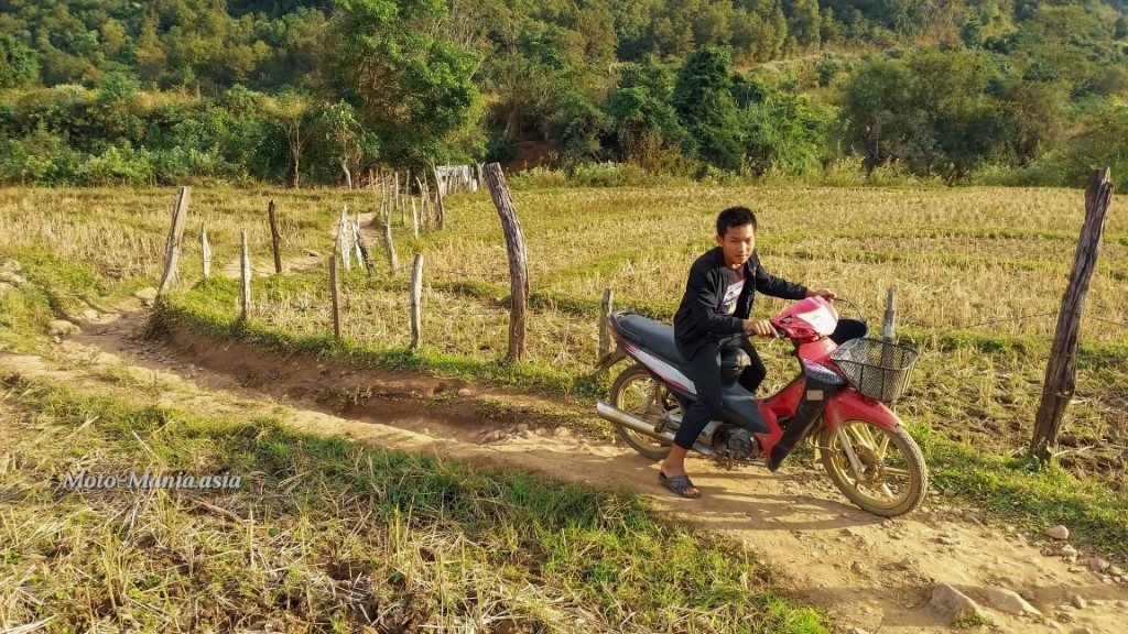
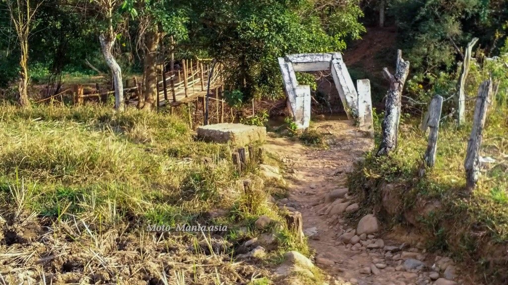
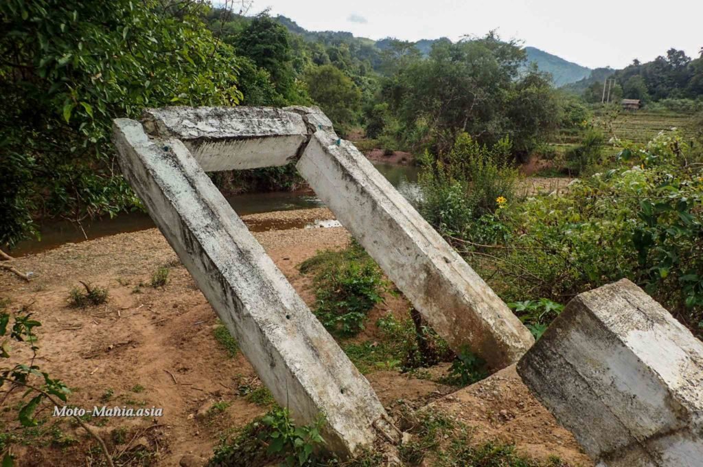
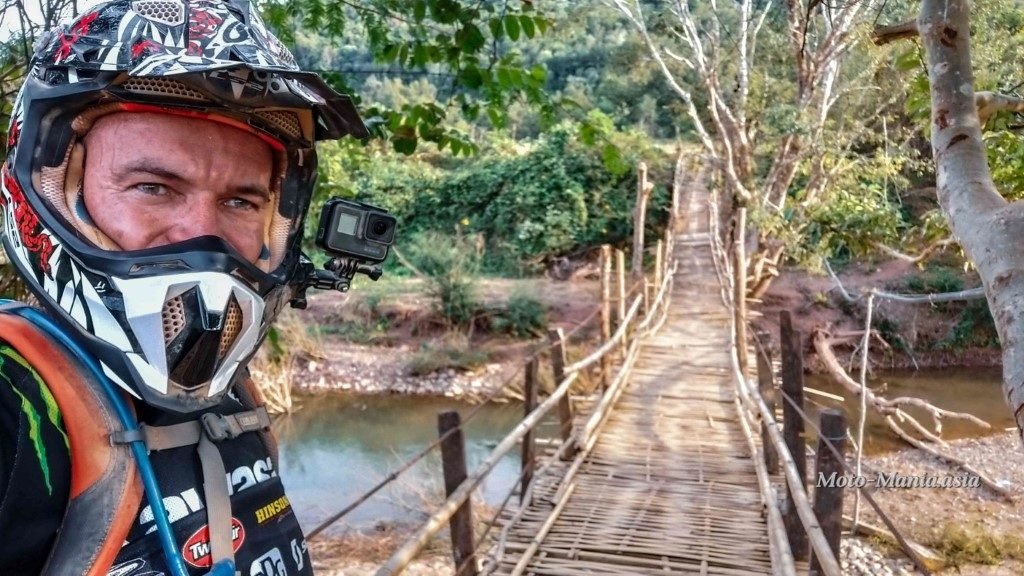
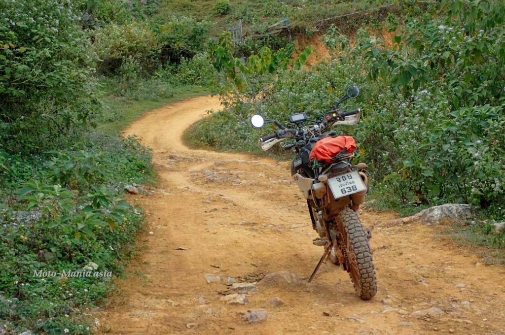
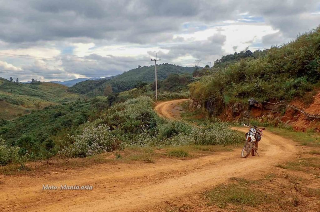
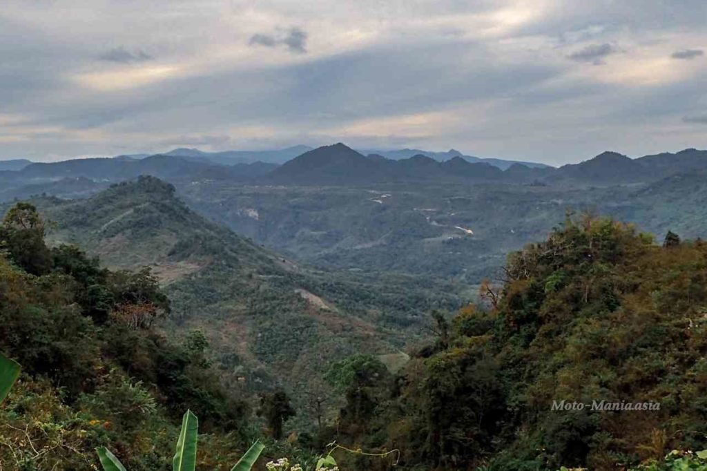
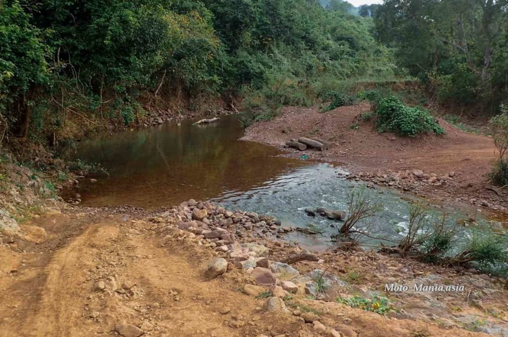
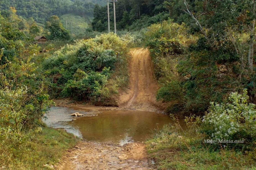
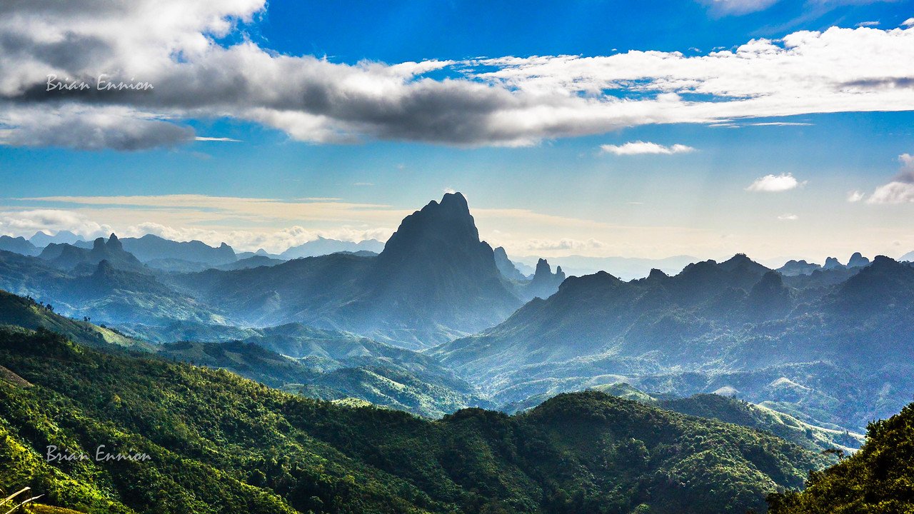
I was pleasantly surprised by the lovely scenery on the way to Site 52. Some real nice trails. Local bamboo bridges as well as a river crossing that you go through twice if you don’t take the Bamboo Bridge.
Not sure I would want to do this in the rainy season. When you get to the mountains it is steep and clay. It was dry, but the track and clay surface shiny.



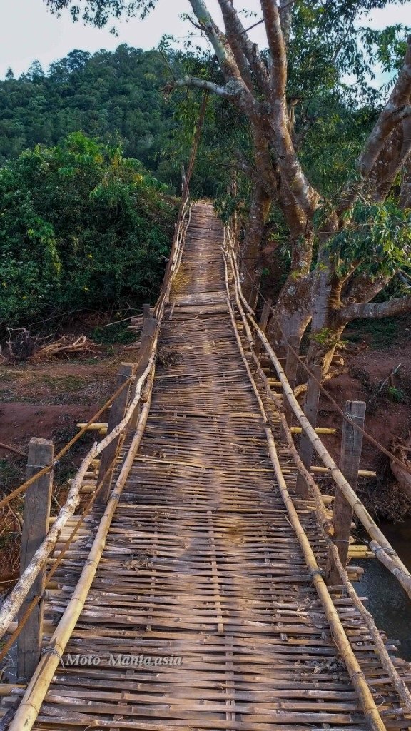

Plain of Jars Site 52
Riding up and down, steep and rutted. Begining to think the directions or GPS are wrong. Ok. 4 or 5 more kilometres and I will head back..
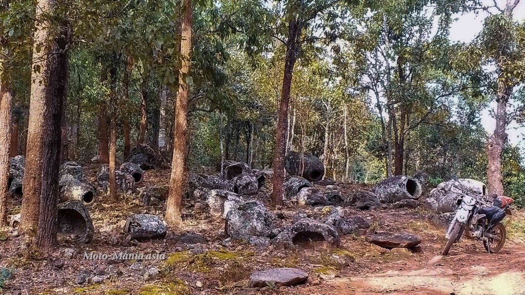
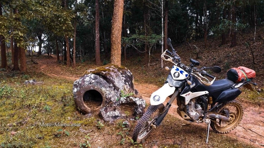
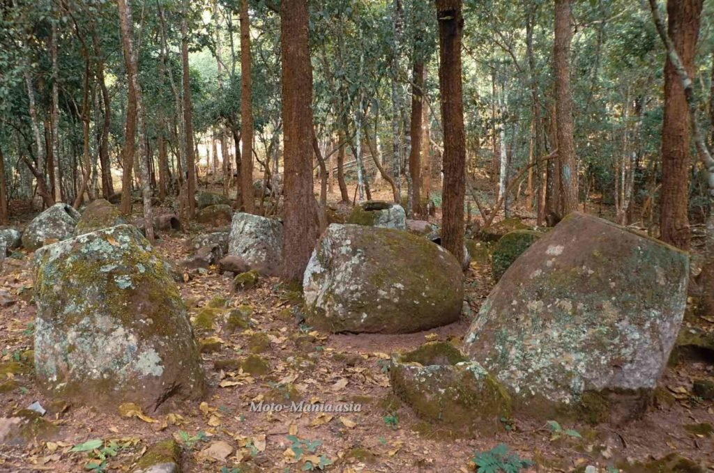
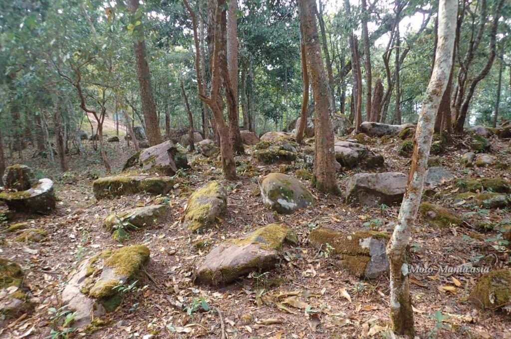
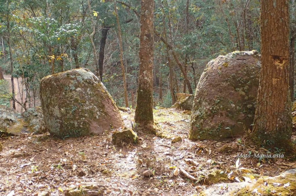
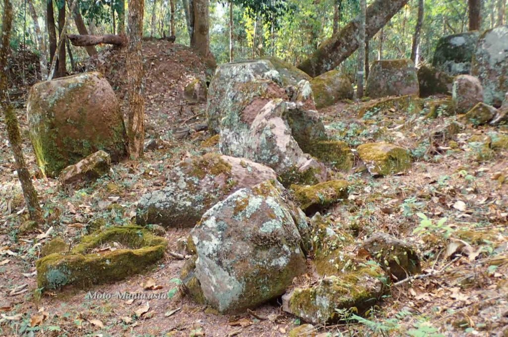
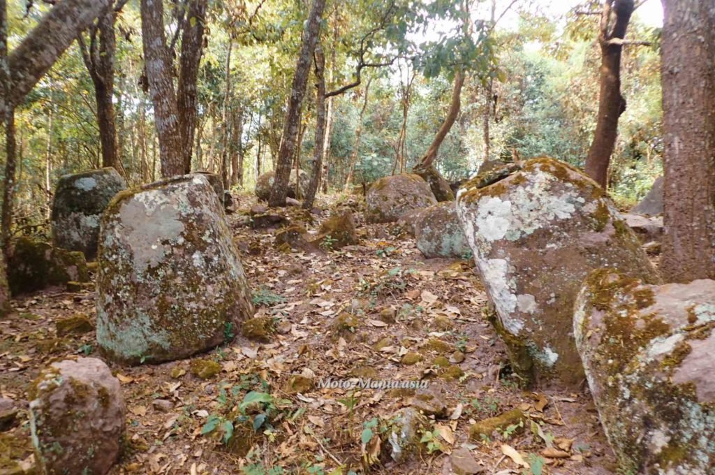
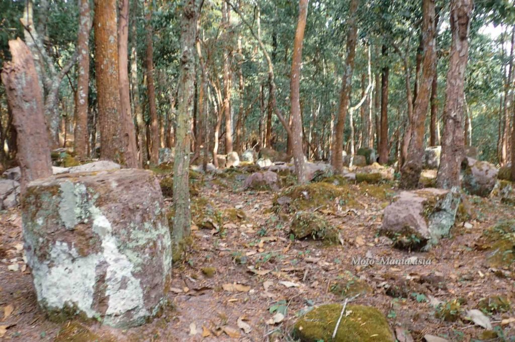
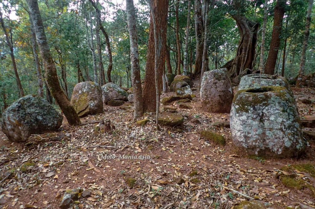
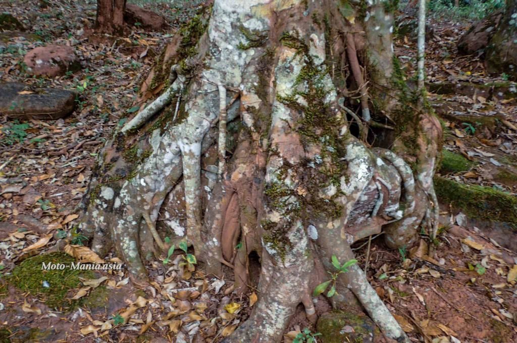
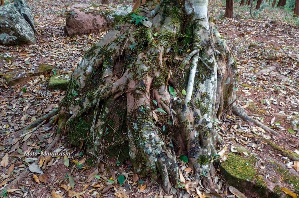
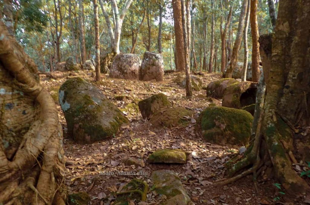
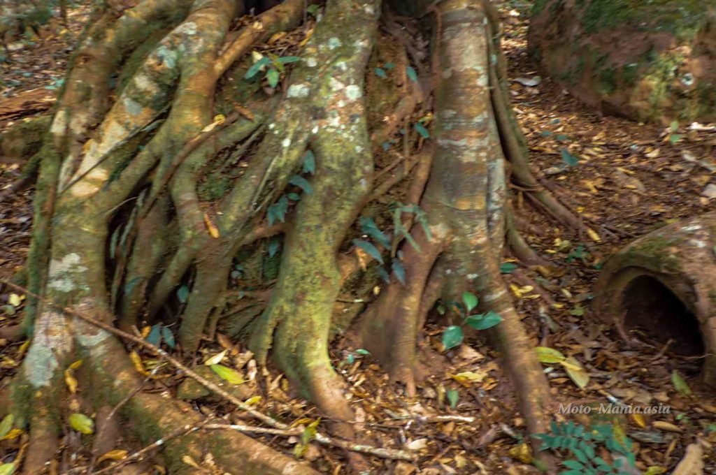
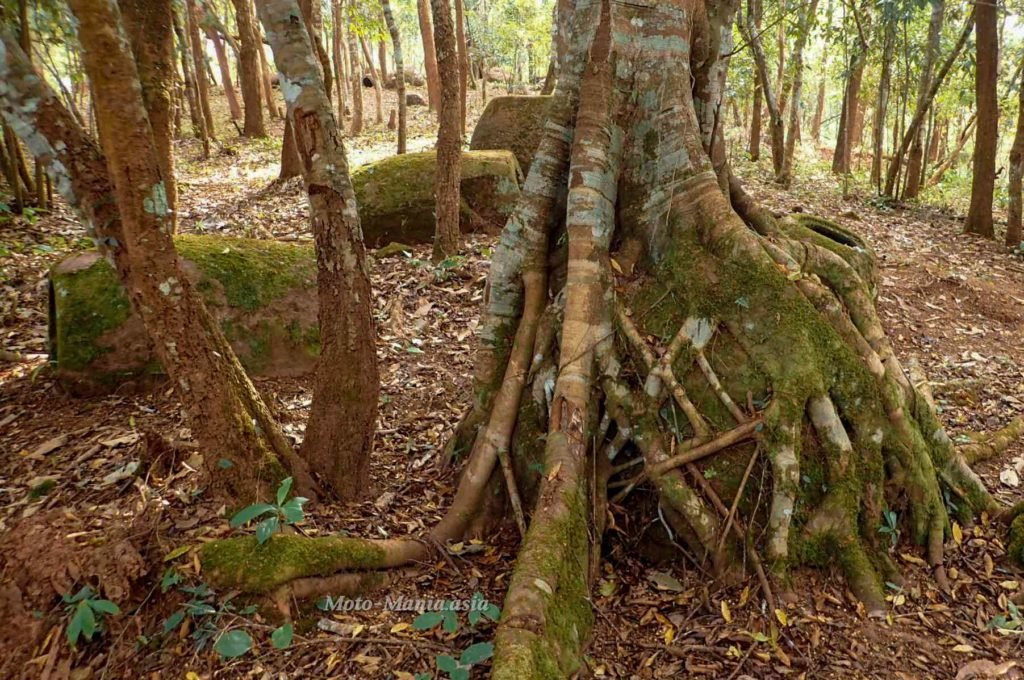
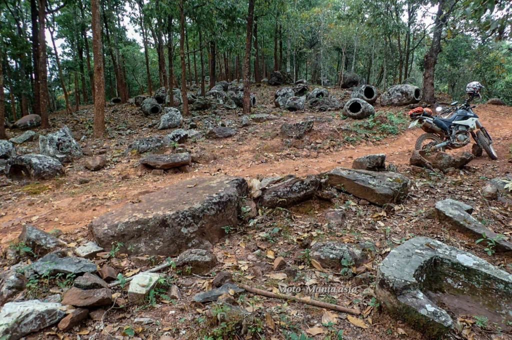
Next turn and right in the middle of Site 52. Just stunning. No tourists, no ticket sales. Just a few locals passing through.
There appears to me at least, to be 3 groupings of Jars in this site. The road goes though the middle as you enter. Then forks with jars on the left and in the centre.


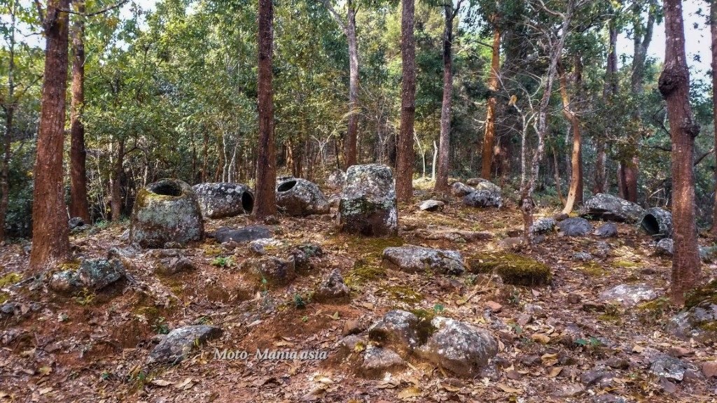


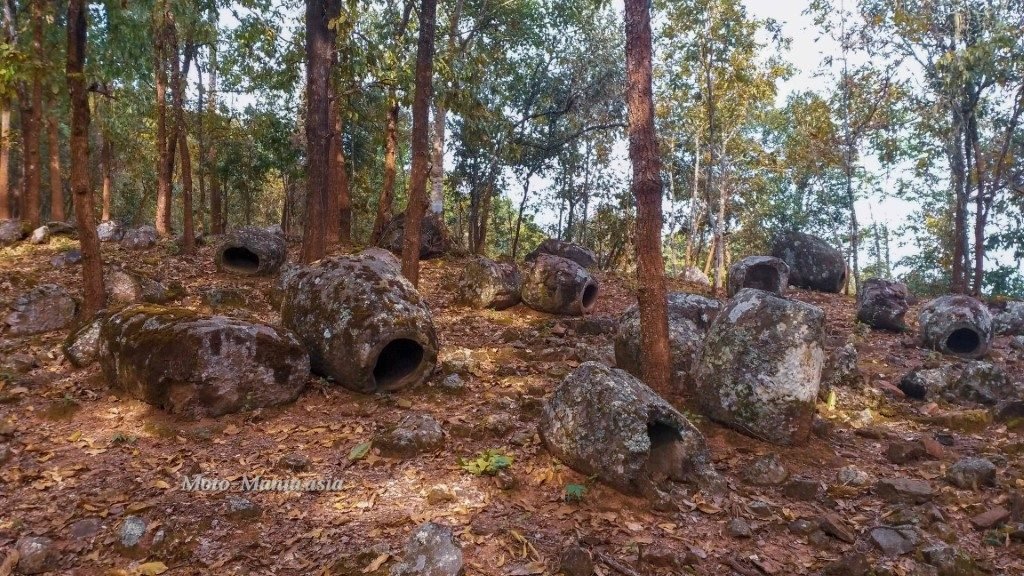

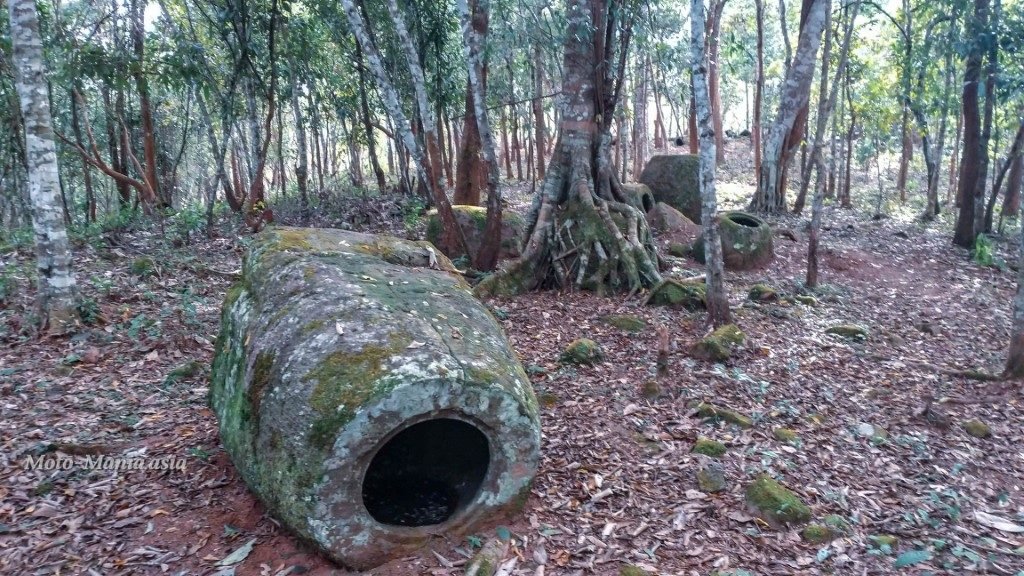









Heading Back To The Main Road


A short video riding in and around Site 52.
Make the effort. It is worth it.
PoJ Site 52 Information
The Plain of Jars (Lao: ທົ່ງໄຫຫິນ [tʰōŋ hǎj hǐn]) is a megalithic archaeological landscape in Laos. It consists of thousands of stone jars scattered around the upland valleys and the lower foothills of the central plain of the Xiangkhoang Plateau. The jars are mostly arranged in clusters ranging in number from one to several hundred.[1]
The Xieng Khouang Plateau is located at the northern end of the Annamese Cordillera, the principal mountain range of Indochina. French researcher Madeleine Colani concluded in 1930 that the jars were associated with prehistoric burial practices. Excavation by Lao and Japanese archaeologists in the intervening years has supported this interpretation with the discovery of human remains, burial goods and ceramics around the jars. The Plain of Jars is dated to the Iron Age (500 BC to AD 500) and is one of the most important prehistoric sites in Southeast Asia.
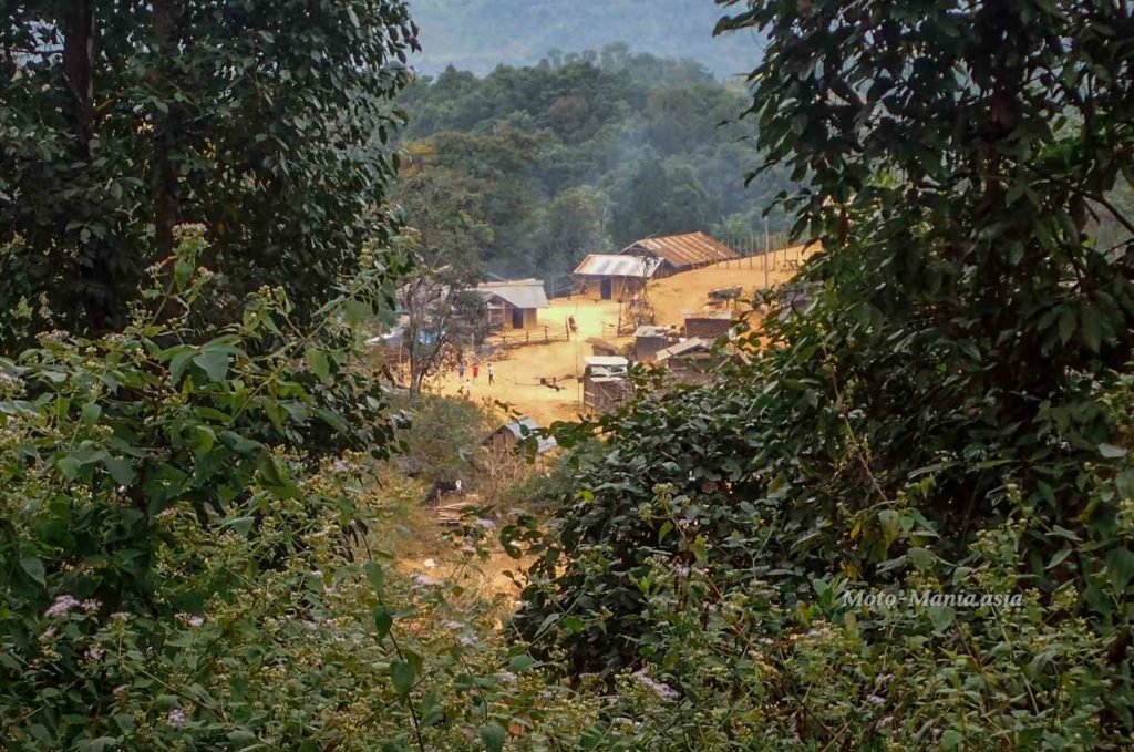
The most investigated and visited Jar site is located close to the town of Phonsavan, and is known as Site 1. Seven jar sites have now been cleared of unexploded bombs and are open to visitors. These are currently sites 1, 2 and 3, and Site 16 near the Old Capital Xieng Khouang; Site 23, near the big hot spring in Muang Kham; Site 25 in the largely unvisited Phou Kout District; and Site 52, the largest known jar site to date with 392 jars near a traditional Hmongvillage only accessible by foot.
https://en.wikipedia.org/wiki/Plain_of_Jars
Cheers
Brian
Hi Brian,
How did you find the starting point and then onward trail to follow for site 52?
It isn’t marked anywhere on Google maps or Maps.me but you mentioned gps in your article.
I will be arriving in Phonsavan tomorrow evening and will rent a bike.
How much time should I allocate for getting there one way?
Thanks,
Mihai
Hi,
The road has been graded the entire way now.
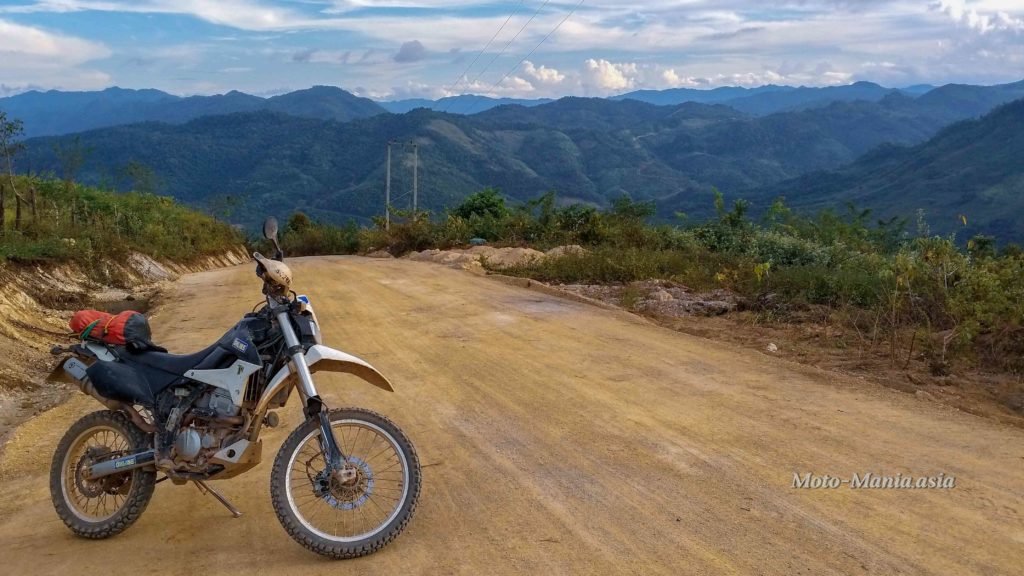
So it won’t be too tough.. Honda Wave / Dirt Bike.. But probably not a big road bike is advisable.
Imagine with the big dry on now. There will be quite thick dust and there are some steep bits.
Nothing too crazy but the right bike and tyres advisable.
Entrance from main road :- N19° 33.367′ E103° 25.763′
PoJ Site 53 :- N19° 29.778′ E103° 25.961′
The track is on Open Street Maps up to the village.
Just push on further up the hill to PoJ Site 52.
It is paved all the way to the turn off.
Half day is easy.. As you are out that way, stop off at the bomb crater site.
Largest in the province. Sad but amazing..
Two paddocks with craters
N19° 34.473′ E103° 19.322′
N19° 34.637′ E103° 19.155′
Well worth the visit.
Cheers
Brian
Hi Brian,
Reached it and it was wonderful. Somehow I missed the foot path and the bridge but did go across the two rivers and all on a rather oldie Honda Win with my girlfriend. I am rather an occasional motorbike rider so if anyone else reads it, then they need to take into account this factor. The trip back goes near the end over a road that I think they try to make more modern now. As such it has a lot of little stones and earth and can be a bit of a challenge when going up the hill (going down was easy) . 2nd gear and with a passenger up that final hill for reaching back the main road made me crash the bike and get the knees bruised like in the good old bycicle days when I was young.
Other than that the ride was totally worth it, the landscape wonderful and everything authentic.
On the way back, after reaching the main road an old lady brought me some bananas for free, saw my knees a bit bleeding and told me (sign language of course) to follow her. She took me to the village doctor, a young guy friendly, skilled, worked very cleanly, spoke English (wow) and he disinfected everything plus gave me some pills.. just in case.
Doctor then was funny and said.. Honda Win, up that hill, always use number 1,never number 2 with passenger.
P. S. Your travel blog and the article of this lady ( no hidden ad 🙂 are the best resources for reaching Site 52 so far (she gives a tad more visual info but similar)
https://maptia.com/janellekaz/stories/plain-of-jars
Wow the cable bridge is out!!!
That’s crazy. Looks like a new bamboo one is in its place.
Hello Brian, wanted to give you a massive THANK YOU for creating this post. It is highly likely that I wouldn’t have reached site 52 (2nd Nov 23) without your info, and especially the thread of ‘just keeping going’ running in my head as several times I thought I wasn’t on the right track. Without gps I used the given coordinates in google maps that got me as far as the start of the track from the ‘main’ road only, after that I was on my own.
The track has changed somewhat since your post, the river is bridged (somewhat disappointing as your bamboo bridge looked fun) and there are a couple of turn off’s along the route – but anyone reading this and planning on going – just keep heading up hill- and keep going! And make sure your petrol is topped up- I thought I had plenty but used a lot going up muddy inclines so that before I reached the site my tank was on red. I coasted downhill for the return. I did the journey on a rented Honda wave, which, after the rainy season, just about managed it but at times I did wonder. So I would recommend that this journey is for confident riders.
It’s a hugely powerful place, I got there early morning and the cloud was down so I was able to get some great images – https://www.grp-photo.com/plain-of-jars
If you are going to visit, I recommend taking a bio-degradable offering (you won’t be alone up there :0) – fruit is best, although I used what I had to hand, tobacco and water, which fortunately worked! (they have a humour as well so watch out..)
Thanks again Brian, I’ll be using your info for future travel references to other Asian places. Best regards, George